
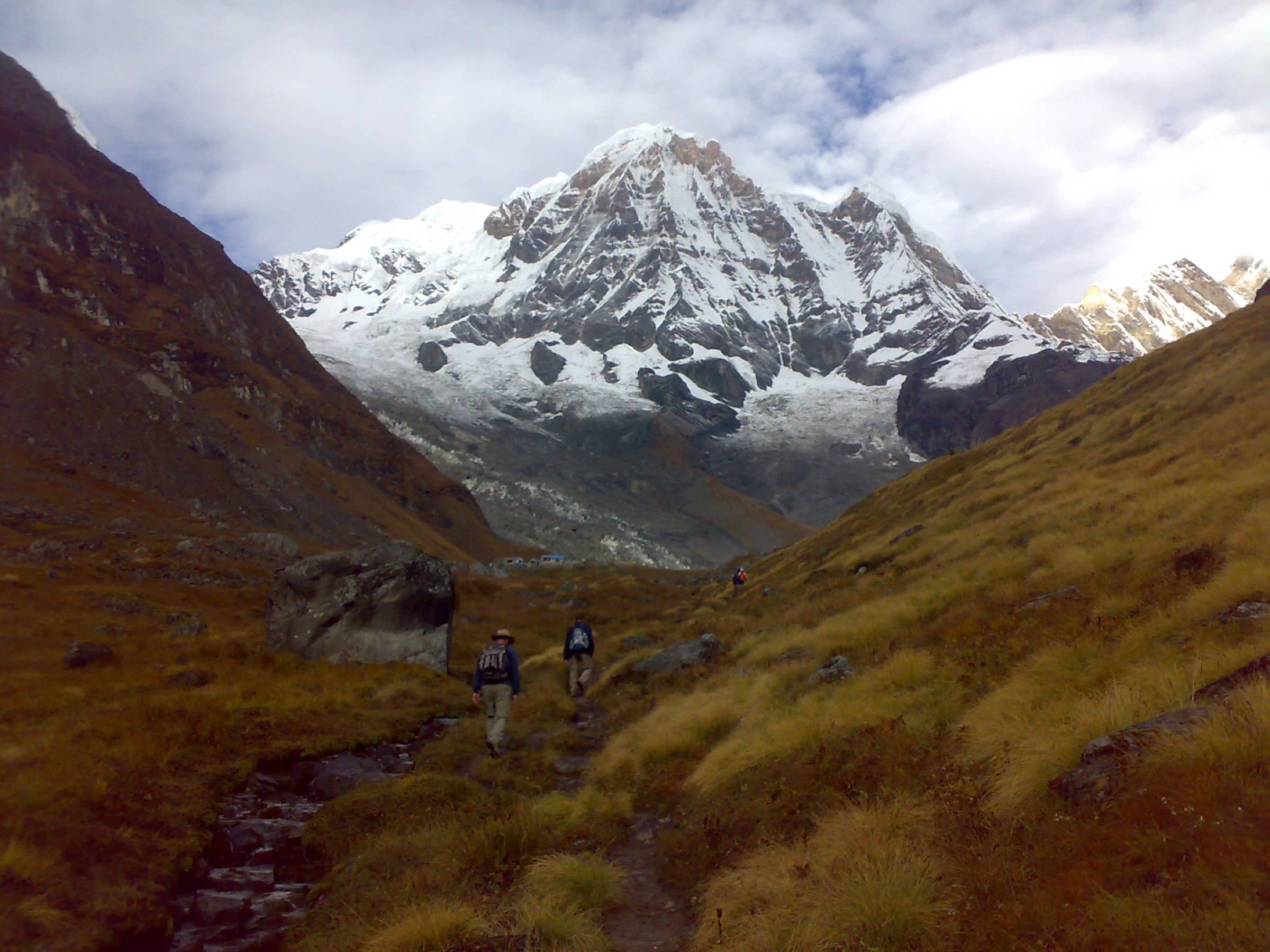
Annapurna Circuit Nepal
Annapurna Base Camp
Photo: Kapilkhatri19 · CC BY-SA 3.0
At a glance
Into the Annapurna Sanctuary to Annapurna Base Camp
- Distance
- 24.1 km · 15 mi
- Elevation gain
- 982 m · 3,222 ft
- Highest point
- 4,130 m · 13,550 ft
- Time
- 7–11 days
- Difficulty
- Challenging
- Route
- Out and back
Elevation profile
Plan your trip
Best months: Mar–Apr, Oct–Nov
- Permits & fees
- ACAP permit; foreign trekkers must hike with a licensed guide.
- Getting there
- Drive from Pokhara to the trailhead (Nayapul or further by jeep).
- Good to know
- The section above Deurali crosses avalanche terrain — follow local advice after snowfall.
- Combine with Poon Hill at the start for a sunrise over Dhaulagiri.
Reviews & tips
No reviews yet — be the first to share how Annapurna Base Camp went.
Sign in to review Annapurna Base Camp or add a tip.
Tips from hikers
No tips yet. Water sources, transport, huts — what should the next hiker know?
Sources
Official figures where published; other numbers are measured on the map and approximate. Conditions and rules change — confirm with the official source before you go.