
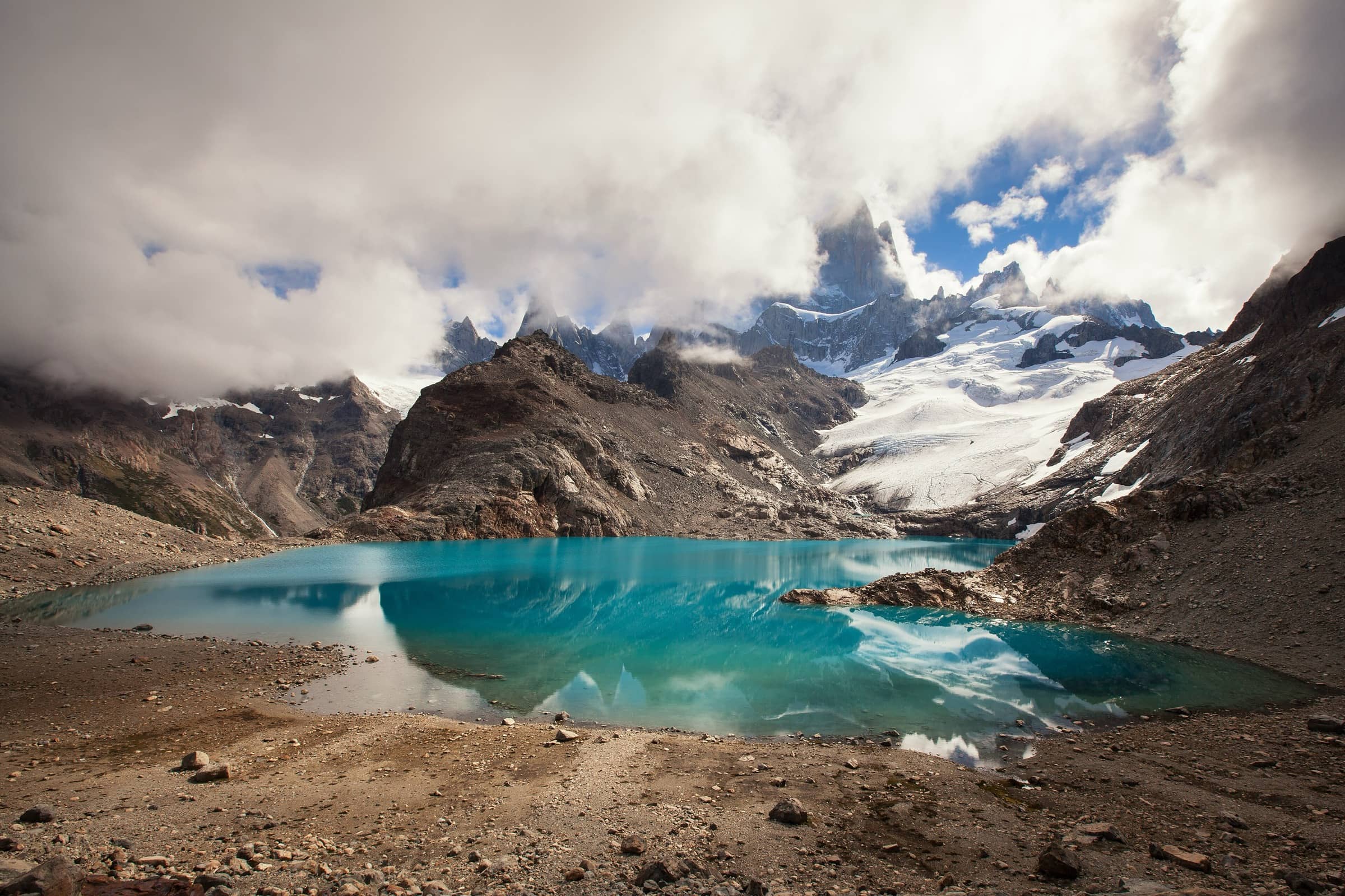
Los Glaciares National Park Argentina
Laguna de los Tres
Photo: Almonroth · CC BY-SA 3.0
At a glance
Fitz Roy trailhead in El Chaltén to Laguna de los Tres via Laguna Capri or the Fitz Roy viewpoint and the Poincenot campsite, back the same way
- Distance
- 20 km · 12 mi
- Elevation gain
- 750 m · 2,461 ft
- Time
- About 10 h return (official estimate)
- Difficulty
- Challenging
- Route
- Out and back
Plan your trip
Best months: Nov–Mar
- Permits & fees
- Rules in force from June 1, 2026 (checked October 2026): entry to Los Glaciares through the El Chaltén gate is paid. The general rate is 50,000 Argentine pesos for a day pass, 100,000 for a 3-day Flexipass and 175,500 for a 7-day Flexipass (Argentine residents pay less). Buy online at ventaweb.apn.gob.ar. If you camp at Laguna Capri or Poincenot, you must book; these campsites are run by the Asociación Amigos del Parque Nacional Los Glaciares.
- Getting there
- El Chaltén is 213 km by road from El Calafate. The National Parks Visitor Center is just before you enter the village. From there it is about 2 km (20 minutes) to the start of the Fitz Roy trail at the north end of town.
- Good to know
- The official brochure calls the trail very steep and dangerous when it is windy or rainy. Most of the climb comes in the last 2 km from Poincenot to the lake.
- Plan your time so you are back in the village before dark. The weather in town is different from the weather in the mountains, and there is little or no phone signal.
- From May to September the trails have ice, mud and snow, and crampons and poles are mandatory.
- No fires anywhere in the park, no pets and no drones. Gas stoves are allowed only in designated camping areas, and you carry all your rubbish back to town.
Reviews & tips
No reviews yet — be the first to share how Laguna de los Tres went.
Sign in to review Laguna de los Tres or add a tip.
Tips from hikers
No tips yet. Water sources, transport, huts — what should the next hiker know?
Sources
- Parques Nacionales (APN) — Los Glaciares North Zone trails brochure, 2024 (English PDF)
- Parques Nacionales (APN) — Recommendations for visiting Los Glaciares National Park
- Parques Nacionales (APN) — Access fees, from June 1, 2026 (Los Glaciares – Portada El Chaltén)
- Parques Nacionales (APN) — Los Glaciares: plan your visit
Official figures where published; other numbers are measured on the map and approximate. Conditions and rules change — confirm with the official source before you go.