
North America United States
Great Smoky Mountains National Park
Photo: Andrew Heneen · CC BY 4.0
The hike
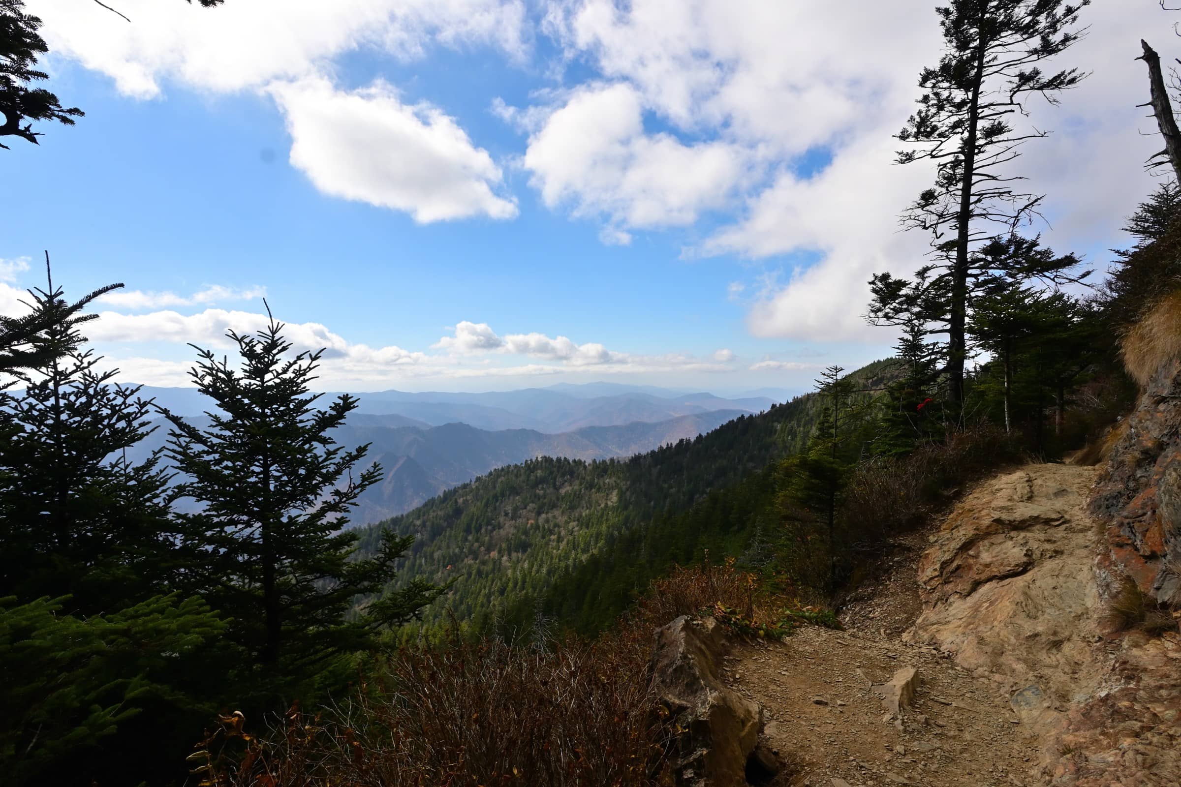
The Alum Cave Trail is the shortest of the five routes up Mount Le Conte, the park's third-highest peak at 6,593 feet (2,010 m). It starts on Newfound Gap Road (US 441) and follows Alum Cave Creek through dense forest to Arch Rock, then reaches Alum Cave Bluffs at 2.3 miles (3.7 km), which is not a cave at all but a tall, inward-curving cliff. Above the bluffs, spruce-fir forest lines the trail on the climb to the top, where the best views are at Cliff Top and Myrtle Point, both signed. The round trip is 10 miles (16.1 km), and the National Park Service calls it challenging but rewarding.
Great Smoky Mountains is the most visited national park in the US, with 11,527,939 recreation visits in 2025, and Alum Cave is one of its busiest trails. The trailhead lot has only 69 spaces, so arrive early or book one of the park's authorized hiker shuttles. There is no entrance fee, but under the park's Park it Forward program every vehicle parked for more than 15 minutes must display a printed parking tag. Weather changes fast with altitude: summer on Le Conte is rarely above 80°F (27°C), while in cold weather the trail can be icy and icicles may fall from the bluffs.
Official sitePlan your trip
Best months: Apr–Jun, Sep–Oct
- Permits & fees
- No permit needed for day hikes and no entrance fee. A parking tag (the park's Park it Forward program) is required for any vehicle parked for more than 15 minutes: $5 daily, $15 weekly, $40 annual. The printed tag must show your licence plate and be displayed in the vehicle; digital copies and America the Beautiful passes are not accepted, and a tag does not guarantee a parking space.
- Getting there
- Alum Cave Trailhead is on Newfound Gap Road (US 441), 6.8 miles (10.9 km) south of Sugarlands Visitor Center near Gatlinburg, Tennessee. The lot has 69 spaces and fills early; several authorized shuttle companies (most run March to October) stop at the trailhead. Buy your parking tag online in advance, as most trailheads have no tag machine.
- Good to know
- Arrive early or take an authorized shuttle: the NPS warns of extreme crowding and limited parking at Alum Cave Trailhead.
- In cold weather expect ice on the trail and falling icicles near Alum Cave Bluffs; the NPS recommends microspikes in winter.
- Want a shorter day? Turn around at Alum Cave Bluffs for a 4.6-mile (7.4 km) round trip. Pets are not allowed on this trail.
Gallery
Reviews & tips
Sign in to review Great Smoky Mountains National Park or add a tip.
Tips from hikers
No tips yet. Water sources, transport, huts — what should the next hiker know?
Sources
- NPS — Great Smoky Mountains National Park
- NPS — Hike to Mount Le Conte on Alum Cave Trail
- NPS — Alum Cave Bluffs
- NPS — Mountains (peak elevations)
- NPS — Weather (seasons; Mount Le Conte 6,593 ft / 2,010 m)
- NPS — Fees & Passes (parking tags)
- NPS — Park it Forward parking tag requirement (news release, 2023)
- NPS — Shuttles and trailhead parking capacity
- NPS — 2025 visitation statistics (news release, March 13, 2026)
- OpenStreetMap — Alum Cave Trailhead
Checked October 2026. Distances and times are typical for the route above; conditions, permits and fees change — confirm with the official source before you go.