
North America United States
Yosemite National Park
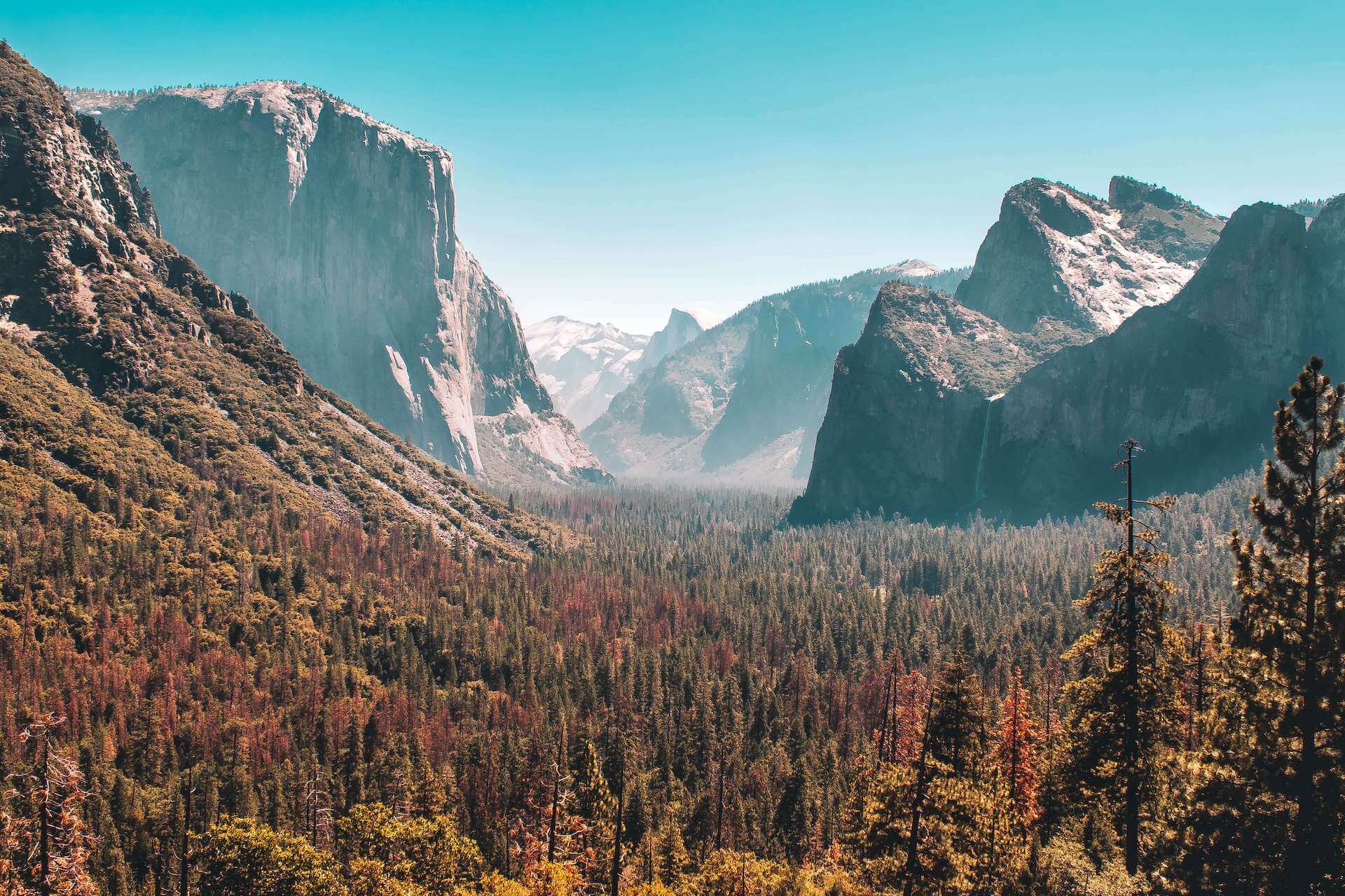
Photo by Mathilda Khoo on Unsplash
The hike
America's Yosemite National Park is a treasure trove of granite cliffs, waterfalls, and giant sequoias. Trails like the Mist Trail lead to iconic landmarks such as Yosemite Falls and Half Dome, offering hikers unparalleled views of the park's stunning landscapes.
Official siteTrails in Yosemite National Park
- Mist Trail to Vernal and Nevada Falls8.7 km · 5–6 hours · StrenuousGranite stairs beside two of Yosemite's great waterfalls — soaked in spring spray, with a gentler way down on the John Muir Trail.
- Upper Yosemite Fall11.6 km · 6–8 hours · StrenuousOne of the park's oldest and toughest trails, climbing beside North America's tallest waterfall to the Valley rim.
- Half Dome24 km · 10–12 hours · StrenuousThe bucket-list day hike: waterfalls, forest, and a final climb up steel cables on bare granite. Permit required.
- Four Mile Trail to Glacier Point15.4 km · 6–8 hours · StrenuousA relentless switchback climb from the Valley floor to Glacier Point, with Yosemite Falls and Half Dome in view the whole way.
- Sentinel Dome3.2 km · 1–2 hours · EasyA short walk and a scramble up open granite to a 360-degree view of Half Dome, El Capitan and Yosemite Falls.
Plan your trip
Best months: May–Jun, Sep–Oct
- Permits & fees
- Park entrance pass; peak-season vehicle reservations may apply — check the park site.
- Getting there
- Fly to Fresno (about 2.5 hours) or San Francisco (about 4 hours); YARTS buses run to Yosemite Valley.
- Good to know
- Waterfalls peak in May and June; the Mist Trail is slippery — rain jacket and good soles.
- Come down the John Muir Trail for gentler grades and different views.
Gallery
13 photos · tap to enlarge
Reviews & tips
No reviews yet — be the first to share how Yosemite National Park went.
Sign in to review Yosemite National Park or add a tip.
Tips from hikers
No tips yet. Water sources, transport, huts — what should the next hiker know?
Sources
Checked October 2026. Distances and times are typical for the route above; conditions, permits and fees change — confirm with the official source before you go.