
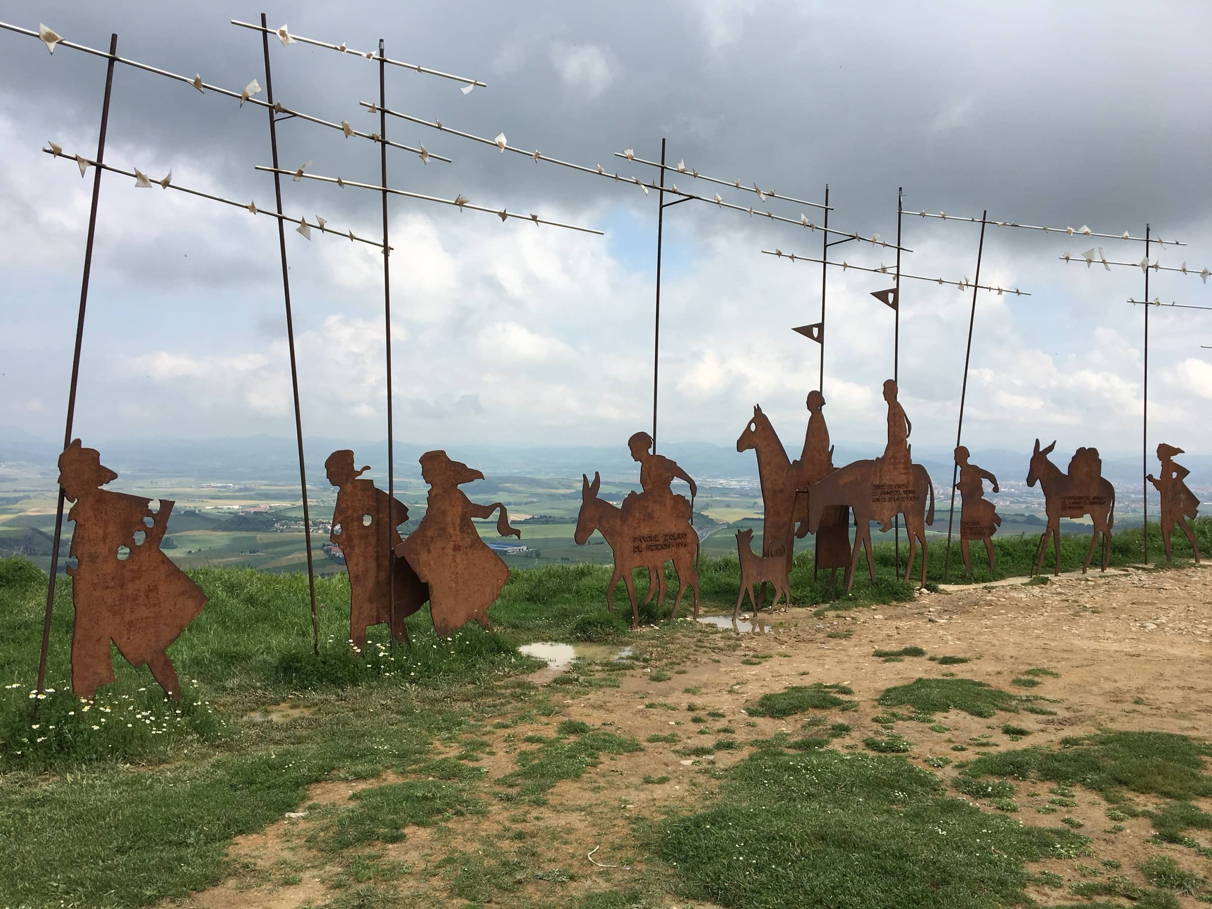
Camino de Santiago — Camino Francés Spain
Pamplona to Burgos
Photo: Birgitta Hellman Magnusson · CC BY-SA 4.0
At a glance
Pamplona via Puente la Reina, Estella-Lizarra and Viana, through La Rioja, then via Belorado, San Juan de Ortega and Atapuerca to Burgos
- Time
- To be confirmed
- Difficulty
- Moderate
- Route
- One way
Plan your trip
Best months: Apr–May, Sep–Oct
- Permits & fees
- No permit needed. Carry a Credencial (pilgrim passport) and get it stamped where you sleep; it gives access to pilgrim hostels.
- Getting there
- Pamplona is the capital of Navarre and the end of the first section of the Camino Francés. The section ends in Burgos, in Castile and León.
- Good to know
- Navarre's tourism board measures 23.8 km (405 m of climbing) from Pamplona to Puente la Reina and 25.5 km (404 m) from Puente la Reina to Estella-Lizarra, both rated medium.
- From Villafranca Montes de Oca it is 12 km over the hills to San Juan de Ortega, which stands at 1,040 m, according to the Junta de Castilla y León.
- After San Juan de Ortega there are two ways into Burgos; the more traditional one goes through Agés, Atapuerca, Cardeñuela Riopico, Orbaneja Riopico and Villafría.
Reviews & tips
No reviews yet — be the first to share how Pamplona to Burgos went.
Sign in to review Pamplona to Burgos or add a tip.
Tips from hikers
No tips yet. Water sources, transport, huts — what should the next hiker know?
Sources
- Visit Navarra — The French Way of St James in Navarre (stages, distances, difficulty)
- Junta de Castilla y León (Turismo) — Camino de Santiago Francés por Castilla y León (leaflet, PDF)
- Pilgrim's Reception Office (Oficina del Peregrino) — The Credencial
- Spain.info (Turespaña) — The French Way of Saint James (regions, best time to go)
Official figures where published; other numbers are measured on the map and approximate. Conditions and rules change — confirm with the official source before you go.