
Camino de Santiago — Camino Francés Spain
Sarria to Santiago de Compostela
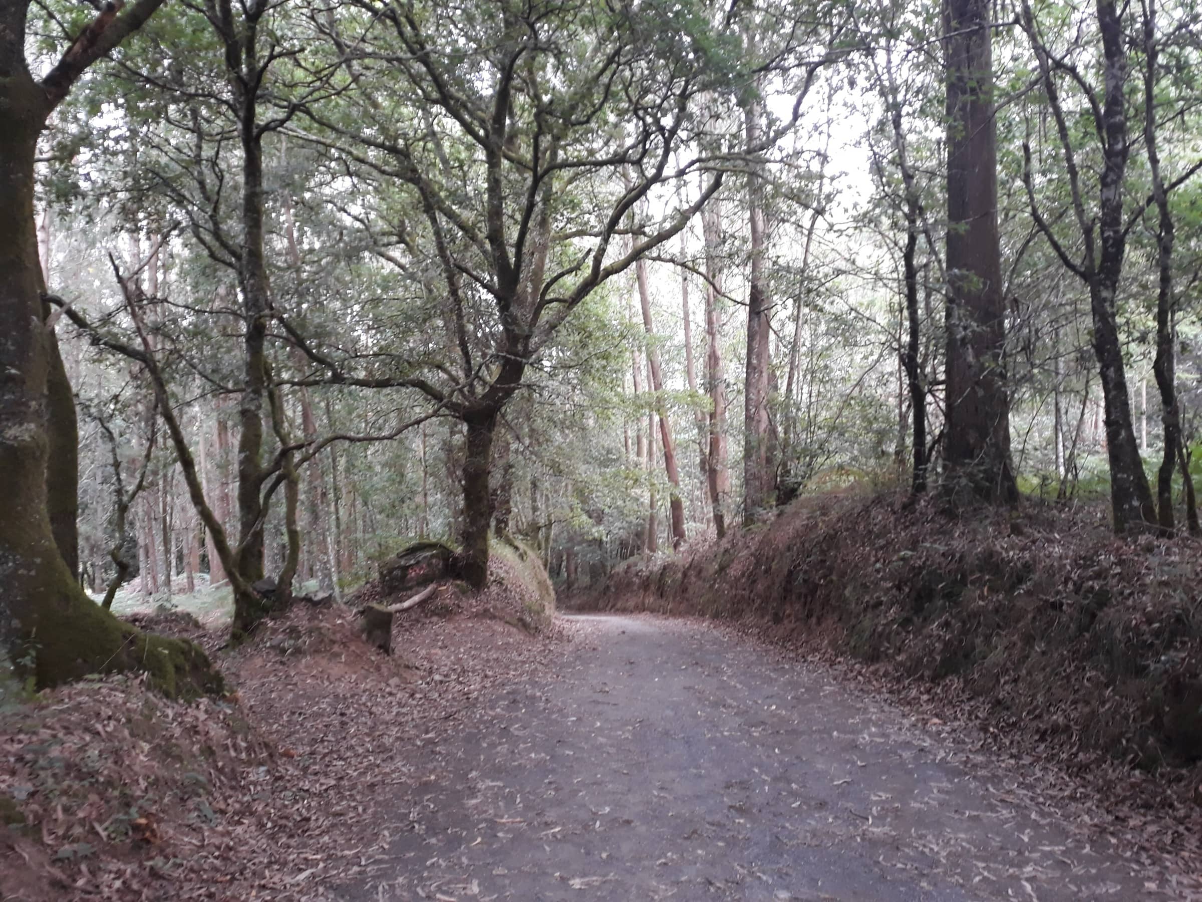
Photo: Simon Burchell · CC BY-SA 4.0
At a glance
Sarria via Portomarín, Palas de Rei, Melide, Arzúa and Arca (O Pino) to Santiago de Compostela
- Distance
- 114.8 km · 71 mi
- Time
- 6 days
- Difficulty
- Moderate
- Route
- One way
Plan your trip
Best months: Apr–May, Sep–Oct
- Permits & fees
- No permit needed. For the Compostela certificate, the Pilgrim's Office requires at least the last 100 continuous km on foot on the same route, ending at the Cathedral, with your Credencial stamped and dated at the start and end of each stage. Collect it at the Pilgrim's Office, Rúa Carretas 33, open every day 9:00–19:00 (closed December 25 and January 1); take a QR-code ticket for the queue. At busy times, same-day collection is not guaranteed. Galicia's public hostels cannot be booked: one night, €10.
- Getting there
- Start in Sarria (Lugo, Galicia). From Santiago de Compostela, high-speed trains run to Madrid, buses serve Galicia, Portugal and France, and the airport is about 10 km from the city.
- Good to know
- The day out of Sarria starts with a steep descent to the A Áspera bridge, followed by the hardest climb of the stage. The Xunta rates Sarria to Portomarín (22 km) as medium-high.
- Between Arzúa and A Salceda the Way follows and crosses the N-547 road several times, so watch for traffic.
- From Monte do Gozo (380 m) you get your first view of the cathedral, about 5 km before the end.
- The distance here adds up the Xunta's six official stages: 22, 25.1, 14.6, 14.5, 18.4 and 20.2 km.
Reviews & tips
No reviews yet — be the first to share how Sarria to Santiago de Compostela went.
Sign in to review Sarria to Santiago de Compostela or add a tip.
Tips from hikers
No tips yet. Water sources, transport, huts — what should the next hiker know?
Sources
- Pilgrim's Reception Office (Oficina del Peregrino) — The Compostela
- Xacobeo / Xunta de Galicia — Camino Francés, stage Sarria–Portomarín
- Xacobeo / Xunta de Galicia — Camino Francés, stage Portomarín–Palas de Rei
- Xacobeo / Xunta de Galicia — Camino Francés, stage Palas de Rei–Melide
- Xacobeo / Xunta de Galicia — Camino Francés, stage Melide–Arzúa
- Xacobeo / Xunta de Galicia — Camino Francés, stage Arzúa–Arca (O Pino)
- Xacobeo / Xunta de Galicia — Camino Francés, stage Arca (O Pino)–Santiago de Compostela
- Xacobeo / Xunta de Galicia — Public pilgrim hostel network (rules, price, no reservations)
- Spain.info (Turespaña) — Santiago de Compostela (getting there: airport, train, bus)
- Spain.info (Turespaña) — The French Way of Saint James (best time to go)
Official figures where published; other numbers are measured on the map and approximate. Conditions and rules change — confirm with the official source before you go.