
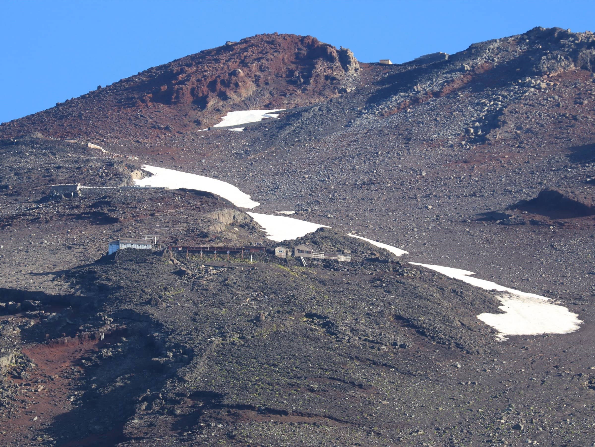
Mount Fuji Japan
Fujinomiya Trail
Photo: Alpsdake · CC BY-SA 4.0
At a glance
Fujinomiya Trail 5th Station (2,400 m) to the summit and back the same way
- Distance
- 8.6 km · 5.3 mi
- Elevation gain
- 1,320 m · 4,331 ft
- Highest point
- 3,776 m · 12,388 ft
- Time
- 5 h 10 min up, 2 h 40 min down
- Difficulty
- Strenuous
- Route
- Out and back
Elevation profile
Plan your trip
Best months: Jul–Sep
- Permits & fees
- 2026 season rules (July 10 to September 10, 2026, now ended): a Shizuoka hiking fee of 4,000 yen per person per climb. You registered in advance in the Shizuoka FUJI NAVI app (or on site, about 30 minutes) and completed a short e-learning course on rules and manners with a quiz to get your entry pass. Entering between 2 pm and 3 am needed a mountain hut booking. The prefecture's page did not list a daily limit. Rules for 2027 had not been announced when we checked.
- Getting there
- Fuji Kyuko climbing buses from Mishima, Shin-Fuji, Fuji and Fujinomiya stations. The Fuji Skyline is closed to private cars during the climbing season (2026: July 10, 9 am, to September 10, 6 pm); park at Mizugatsuka Parking and take the paid shuttle. In heavy rain the Skyline closes and the shuttle does not run.
- Good to know
- Short does not mean easy: above the 7th Station the trail gets rougher and steeper, with falling stones.
- The way down is steep and slippery in places and hard on the knees; walking poles help.
- The first-aid center is at the 8th Station (in 2026 it was open from July 17 to September 4).
Reviews & tips
No reviews yet — be the first to share how Fujinomiya Trail went.
Sign in to review Fujinomiya Trail or add a tip.
Tips from hikers
No tips yet. Water sources, transport, huts — what should the next hiker know?
Sources
- Official Website for Mt. Fuji Climbing — About each trail
- Official Website for Mt. Fuji Climbing — Shizuoka trail rules for 2026
- Shizuoka Prefecture — Climbing rules on the three Shizuoka trails (2026)
- Official Website for Mt. Fuji Climbing — Facility operating periods (2026)
- OpenStreetMap — Fujinomiya Trail route relation
Official figures where published; other numbers are measured on the map and approximate. Conditions and rules change — confirm with the official source before you go.