
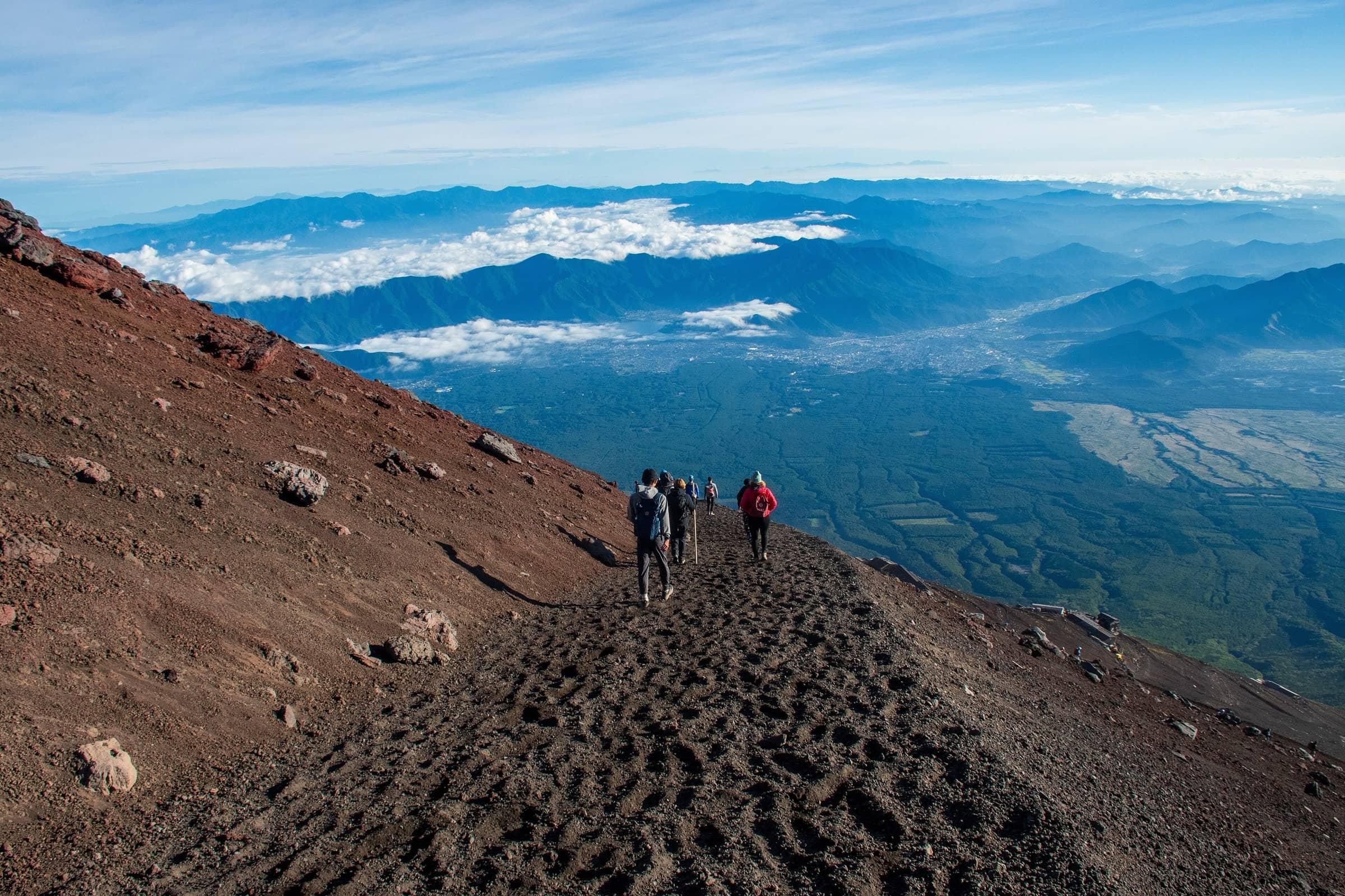
Mount Fuji Japan
Yoshida Trail
Photo: Photos of Japan
At a glance
Fuji Subaru Line 5th Station (2,305 m) to the summit, down by the Yoshida descent trail
- Distance
- 13.8 km · 8.6 mi
- Elevation gain
- 1,450 m · 4,757 ft
- Highest point
- 3,776 m · 12,388 ft
- Time
- 6 h 10 min up, 3 h 35 min down
- Difficulty
- Strenuous
- Route
- Loop
Plan your trip
Best months: Jul–Sep
- Permits & fees
- 2026 season rules (July 1 to September 10, 2026, now ended): a Yamanashi hiking fee of 4,000 yen per person per climb, payable in advance through the prefecture's online reservation (optional, open up to the day of the climb). The gate was closed to new climbers from 2 pm to 3 am and once 4,000 climbers had passed that day; hut guests could still go through. Rules for 2027 had not been announced when we checked.
- Getting there
- Fuji Kyuko climbing buses from Fujikawaguchiko Station and Mt. Fuji Station. In peak season the Fuji Subaru Line is closed to private cars (2026: July 3, 6 pm, to September 10, 6 pm); park at Fujisan Parking and take the shuttle bus.
- Good to know
- It gets very crowded where the Subashiri Trail joins at the Original 8th Station, and above the 9th Station the path is narrow and rocky, with falling stones.
- On the way down, follow the yellow signs at the fork near the 8th Station, or you may end up on the Subashiri side.
- The descent has few huts and toilets, and some toilets may close from late August.
Reviews & tips
No reviews yet — be the first to share how Yoshida Trail went.
Sign in to review Yoshida Trail or add a tip.
Tips from hikers
No tips yet. Water sources, transport, huts — what should the next hiker know?
Sources
- Official Website for Mt. Fuji Climbing — About each trail
- Official Website for Mt. Fuji Climbing — Yamanashi notice for the 2026 season
- Official Website for Mt. Fuji Climbing — Facility operating periods (2026)
- Official Website for Mt. Fuji Climbing — Summit rim trail (Kengamine, 3,776 m)
- OpenStreetMap — Yoshida Trail (Ascent) route relation
Official figures where published; other numbers are measured on the map and approximate. Conditions and rules change — confirm with the official source before you go.