
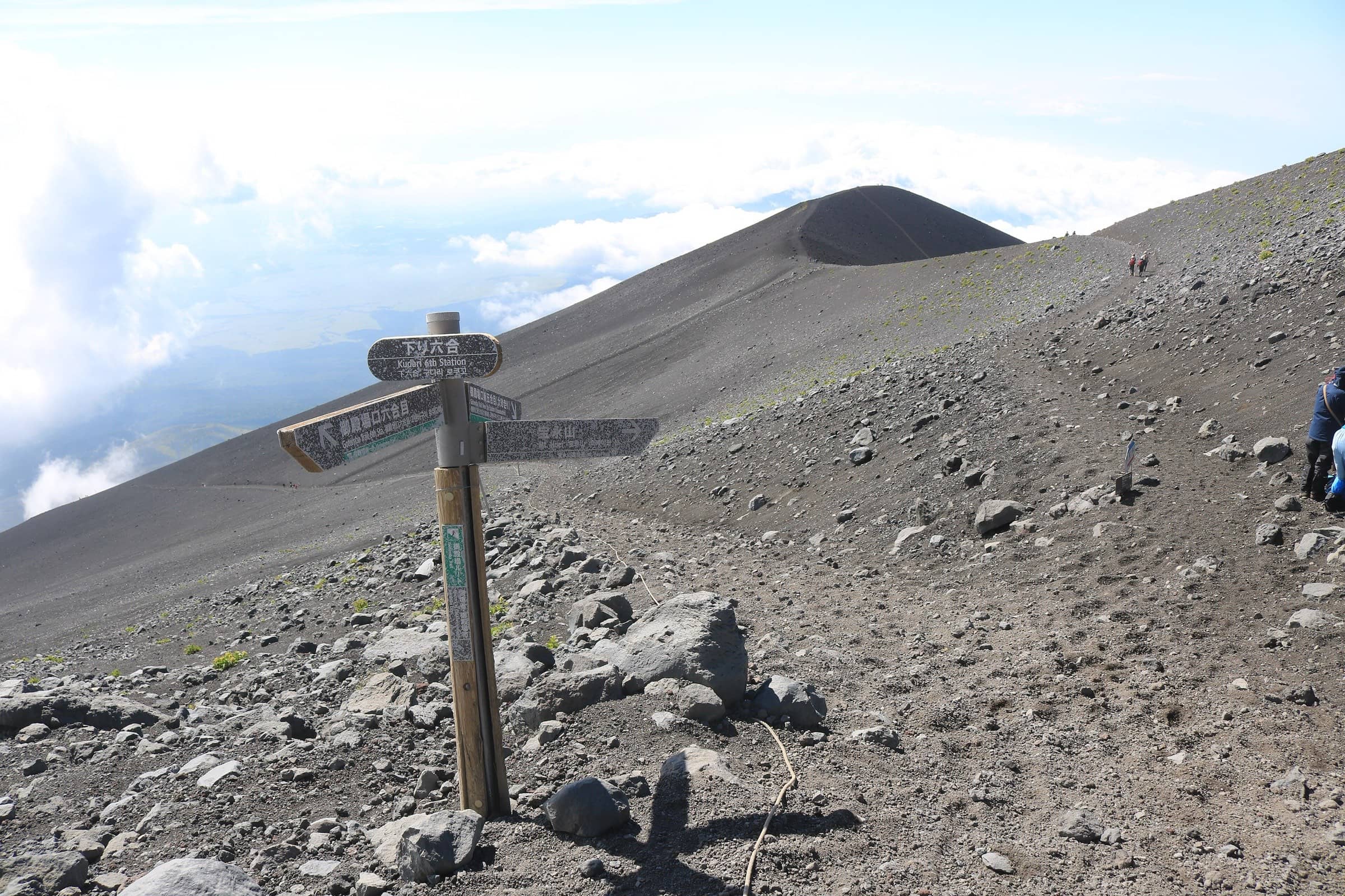
Mount Fuji Japan
Gotemba Trail
Photo: Alpsdake · CC BY-SA 4.0
At a glance
Gotemba Trail New 5th Station (1,440 m) to the summit, down by the Gotemba descent trail
- Distance
- 18.9 km · 12 mi
- Elevation gain
- 2,300 m · 7,546 ft
- Highest point
- 3,776 m · 12,388 ft
- Time
- 8 h 40 min up, 3 h 30 min down
- Difficulty
- Strenuous
- Route
- Loop
Elevation profile
Plan your trip
Best months: Jul–Sep
- Permits & fees
- 2026 season rules (July 10 to September 10, 2026, now ended): a Shizuoka hiking fee of 4,000 yen per person per climb. You registered in advance in the Shizuoka FUJI NAVI app (or on site, about 30 minutes) and completed a short e-learning course on rules and manners with a quiz to get your entry pass. Entering between 2 pm and 3 am needed a mountain hut booking. The prefecture's page did not list a daily limit. Rules for 2027 had not been announced when we checked.
- Getting there
- Fujikyu Mobility climbing buses from Gotemba Station (JR Gotemba Line). This is the only trail without private car restrictions: there is a free parking lot for about 450 cars at the New 5th Station.
- Good to know
- There are few mountain huts and no first-aid center on this trail, so carry enough water, food and warm clothes.
- Near the 8th Station you may need your hands to climb over piles of lava rock; watch for falling stones.
- For the long sandy descent, the official site suggests gaiters, a mask and sunglasses. Toilets and huts on the descent may close from late August.
Reviews & tips
No reviews yet — be the first to share how Gotemba Trail went.
Sign in to review Gotemba Trail or add a tip.
Tips from hikers
No tips yet. Water sources, transport, huts — what should the next hiker know?
Sources
- Official Website for Mt. Fuji Climbing — About each trail
- Official Website for Mt. Fuji Climbing — Shizuoka trail rules for 2026
- Shizuoka Prefecture — Climbing rules on the three Shizuoka trails (2026)
- Official Website for Mt. Fuji Climbing — Facility operating periods (2026)
- OpenStreetMap — Gotemba Trail (Ascent) route relation
Official figures where published; other numbers are measured on the map and approximate. Conditions and rules change — confirm with the official source before you go.