Guide
Trekking in the Annapurna region: when to go, permits and choosing your trek
Seasons and the monsoon, the ACAP permit and TIMS card, the licensed-guide rule for foreign trekkers, and how the Circuit, Base Camp, Mardi Himal and Poon Hill compare, using official Nepali sources and CDC altitude guidance.
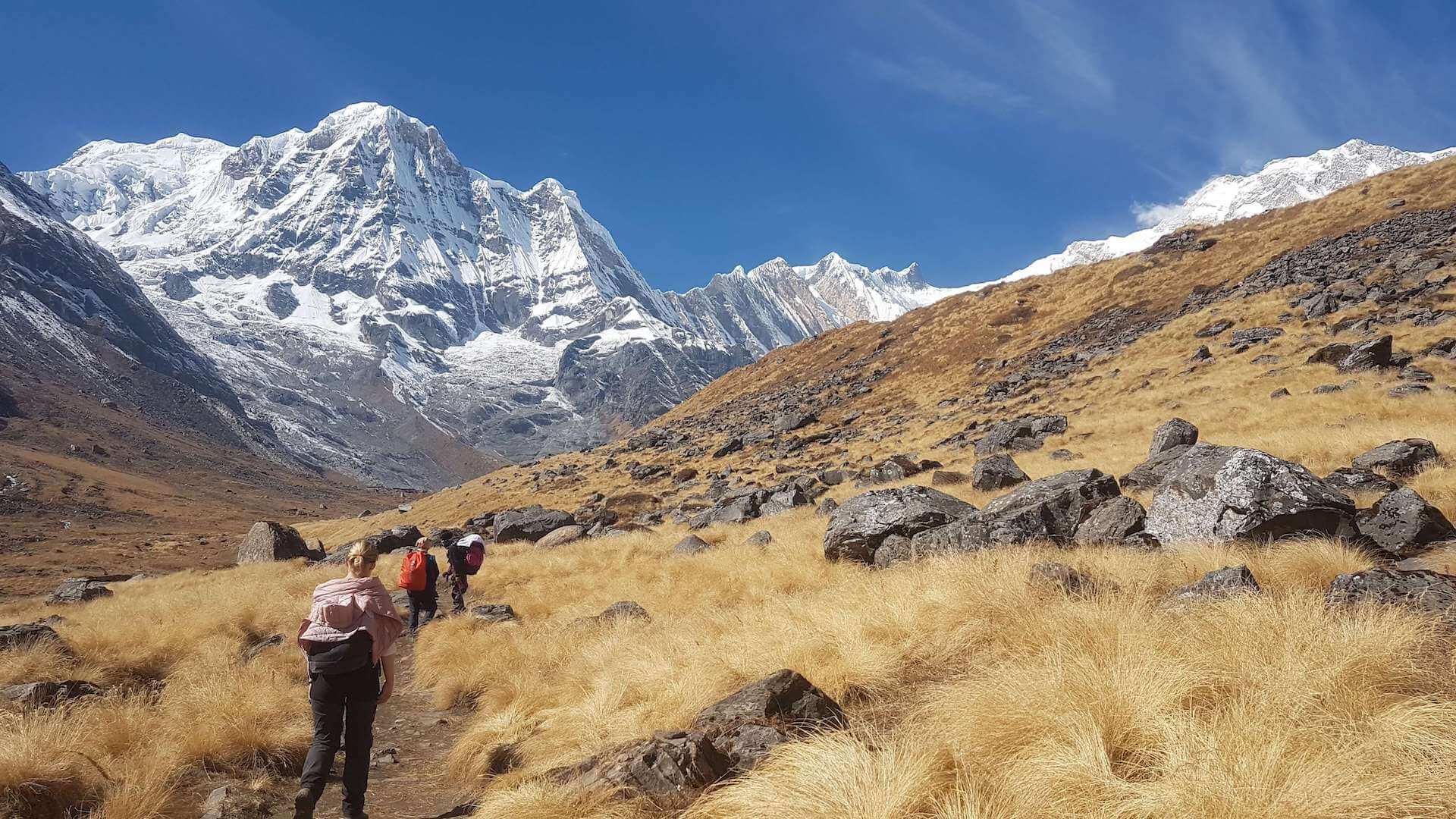
Photo by Sibu Khadka on Unsplash
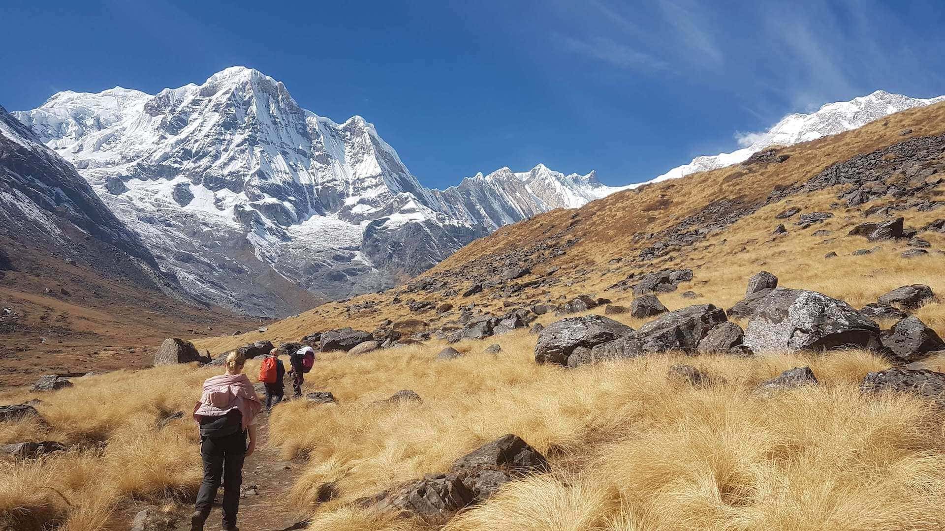
The Annapurna Conservation Area in central Nepal is one of the world's great trekking regions. The National Trust for Nature Conservation (NTNC) launched the Annapurna Conservation Area Project (ACAP) in 1986. It covers 7,629 sq km and is the largest protected area in Nepal. It is also home to more than 100,000 people from many cultural and linguistic groups, so most treks here pass through villages as well as forests and high mountain country.
Pokhara, about 200 km west of Kathmandu, is the starting point for most Annapurna treks. Here's how to pick your season, sort out permits and choose a route, with every detail taken from official sources.
When to go: seasons and the monsoon
The Nepal Tourism Board (NTB) lists March to May and September to November as the best months for the Annapurna Conservation Area. Autumn, after the monsoon, usually brings the clearest skies and the best mountain views. Spring is rhododendron season, when the hillsides flower. NTB also notes that spring can bring seasonal rain and snowstorms.
The summer monsoon is the season most trekkers avoid. NTB warns that rain-soaked trails get slippery, so the monsoon is a poor time for trekking. Nepal's Department of Hydrology and Meteorology gives 13 June and 2 October as the normal monsoon onset and withdrawal dates in eastern Nepal, about 112 days in all. Real years vary a lot. In 2025 the monsoon arrived on 29 May and didn't withdraw until 10 October. NTB notes that monsoon treks usually head to the drier rain-shadow areas of Manang and Mustang.
Winter is colder, with shorter days. NTB says heavier snowfall can sometimes close high passes. That matters on the Annapurna Circuit, which crosses one of the highest trekking passes in Nepal.
Permits: the ACAP entry permit and the TIMS card
Every Annapurna trek needs two documents. The first is the Annapurna Conservation Area entry permit, issued by NTNC. You can apply and pay online through NTNC's e-permit portal or get it at a permit counter. NTNC charges double the fee for permits issued at check-posts on the trail, so sort yours out before you set off. Each permit is valid for a single entry, and children under 10 don't need one. NTNC gets no regular government funding to run ACAP, and the entry fees are reinvested in the region and its communities.
The second is a TIMS (Trekkers' Information Management System) card. Under NTB's revised TIMS rules, in effect since 31 March 2023, the TIMS card for these routes is issued through a government-registered trekking agency. NTB lists the fee as NPR 2,000 for most foreign nationals and NPR 1,000 for citizens of South Asian (SAARC) countries. Upper Mustang is a restricted area and also needs a special trekking permit from the Department of Immigration.
The licensed-guide rule
Since the 2023 change, NTB says foreign trekkers on specified routes in protected areas must be accompanied by a licensed trekking guide and carry an agency-issued TIMS card. In the Annapurna region, NTB names the Annapurna Circuit, the Nar Phu and Mesokanto/Tilicho Pass variations, the Poon Hill and Annapurna Base Camp trek, Khopra, Mardi Himal and Sikleh Tara Hill. In practice, you book your trek through a registered agency, and the agency arranges your guide and TIMS card. Rules here have changed more than once, so confirm the current requirement with NTB before you book.
Choosing your trek
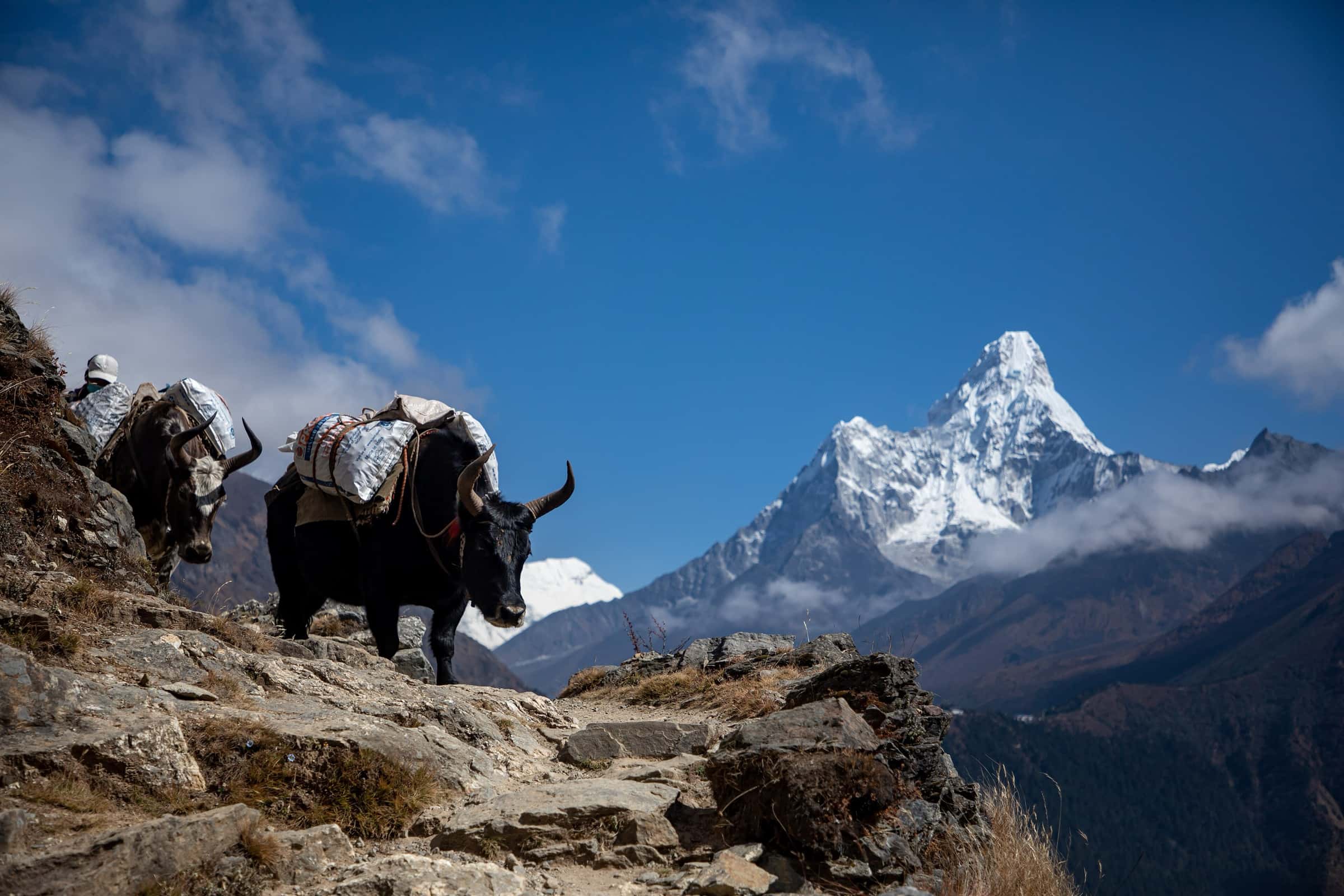
Annapurna Circuit. The classic loop around the Annapurna massif. NTB says it takes about three weeks at minimum to go all the way around. It usually runs counter-clockwise from Besi Sahar, off the Pokhara–Kathmandu highway. The route climbs through the Manang valley, crosses Thorong La at 5,416 m (about 17,770 feet) and drops to the pilgrimage town of Muktinath at 3,749 m (about 12,300 feet). It is the longest and highest of these options, so it needs the most time to acclimatize.
Annapurna Base Camp (ABC). This trek heads into the Annapurna Sanctuary, an amphitheater of peaks that includes Annapurna I (8,091 m), Machhapuchhre (Fishtail) and Hiunchuli. NTB puts the base camp at 4,130 m (about 13,550 feet). Many trekkers combine it with Poon Hill.
Mardi Himal. NTB calls this route, opened in 2012, a quieter alternative. It climbs to Mardi Himal Base Camp at 4,500 m (about 14,760 feet), with close-up views of Machhapuchhre and the Annapurna range.
Ghorepani Poon Hill. NTB describes it as one of Nepal's most popular short treks and a good choice for beginners and families. The highlight is sunrise from Poon Hill at 3,210 m (about 10,530 feet), with Annapurna and Dhaulagiri lit up in gold. NTB notes that the Annapurna region offers short treks of around three days, so it suits a tighter schedule.
“Pick your trek by the days you can give it, not the summit you want to photograph. Altitude doesn't care about your flight home.”
— Great Hikes team
Altitude safety
Three of these four treks go well above 4,000 m, and altitude illness is the biggest health risk. The U.S. Centers for Disease Control and Prevention (CDC) recommends that once you are above 3,000 m (9,800 feet), you raise your sleeping altitude by no more than 500 m (1,650 feet) a night. CDC also advises an extra night to acclimatize for every 1,000 m (3,300 feet) of sleeping altitude you gain. Build those rest days into your itinerary before you book, especially for the Circuit.
According to CDC, headache is the main symptom of acute mountain sickness, usually with one or more of loss of appetite, dizziness, fatigue or nausea. Confusion, loss of coordination or unusual drowsiness can signal high-altitude cerebral edema (HACE). A cough and breathlessness that gets worse, even at rest, can signal high-altitude pulmonary edema (HAPE). CDC's rules are clear: never go up to sleep at a higher altitude while you have symptoms, and descend if they get worse despite rest. CDC also covers preventive medication such as acetazolamide, so talk to a travel-medicine doctor before your trip.
Trail conditions, permit rules, fees and weather in the Himalaya change often. Before you go, check current regulations and trail status with the Nepal Tourism Board (ntb.gov.np) and NTNC (epermit.ntnc.org.np), and check the latest health guidance with CDC.
Sources
- NTNC – Annapurna Conservation Area Project (ACAP)
- NTNC – Online entry permit portal (ACAP, MCAP)
- Nepal Tourism Board – TIMS Card (revised provision, guide requirement, routes, fees)
- Nepal Tourism Board – Annapurna Conservation Area (best season, access)
- Nepal Tourism Board (trade) – Annapurna Region (Circuit, Thorong La, Muktinath, Pokhara, permits)
- Nepal Tourism Board – Top trekking destinations in Nepal (ABC, Mardi Himal, Poon Hill)
- Nepal Tourism Board – Go trekking in the Annapurna region
- Nepal Tourism Board – Trekking (seasons)
- Nepal Tourism Board – Trekking (French edition: monsoon trails, winter pass closures)
- Department of Hydrology and Meteorology, Nepal – Monsoon onset and withdrawal date information (2025)
- CDC Yellow Book – High-altitude travel and altitude illness