Guide
Climbing Mount Fuji in 2027: trail fee, reservation and season
Season dates, the 4,000-yen trail fee, how to book on each side of the mountain, gate hours, the four trails compared and how to stay safe at altitude. This guide uses the rules published for the latest season, 2026.
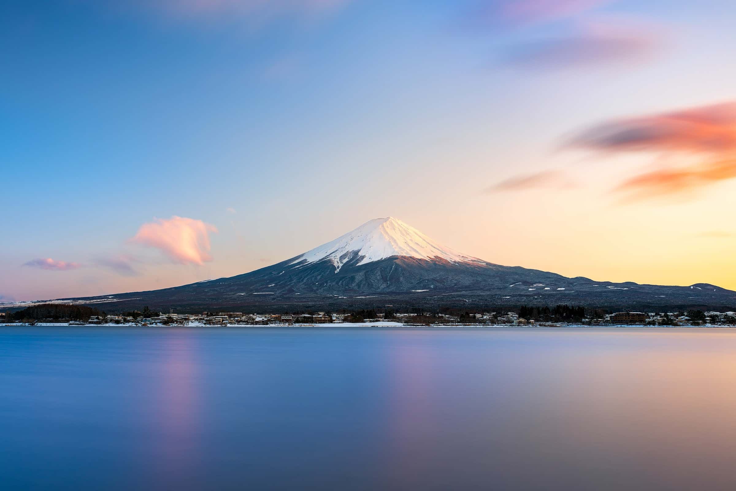
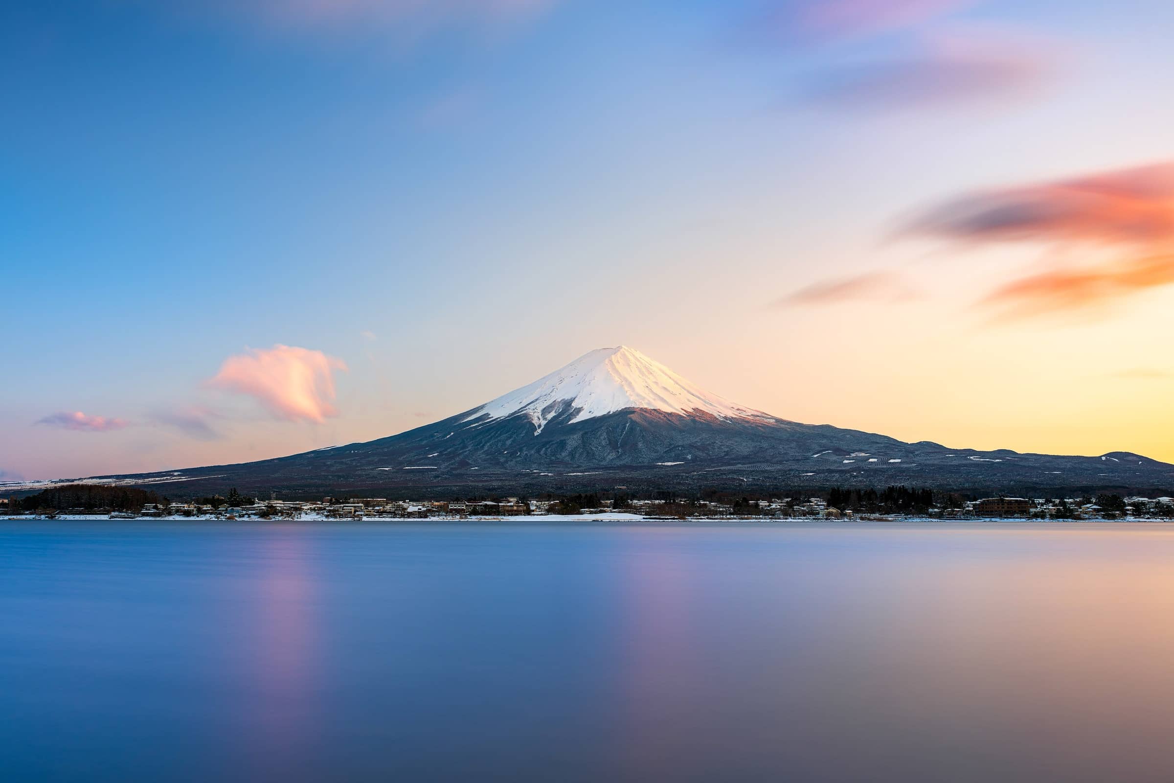
Photo: Romain Guy
At 3,776 m (12,388 ft), Mount Fuji is Japan's highest mountain. Every summer, during a short official season, hikers climb it from one of four trails. Since 2024 the climb has come with new rules: a trail fee, online registration, gate hours and, on one trail, a daily limit.
A quick note on dates: as of October 2026, the 2027 rules haven't been published. Shizuoka Prefecture says details for next year will be announced once they're decided. Everything below is how the system worked in the 2026 season, as published on the official Mt. Fuji Climbing website (fujisan-climb.jp), run by Japan's Ministry of the Environment with Yamanashi and Shizuoka Prefectures. Check it again in spring 2027 before you book anything.
When you can climb
In 2026, the Yoshida and Subashiri Trails were open from July 1 to September 10. The Fujinomiya and Gotemba Trails were open from July 10 to September 10. Openings can be delayed by weather or late snow. JNTO, Japan's national tourism organization, says the trails are most crowded during the Obon holidays in mid-August, and they can close because of rain or wind.
Outside these dates, the trails from the 5th stations to the summit are closed. More on that at the end of this guide.
The trail fee and how to book
All four trails charged a hiking fee of 4,000 yen per person per climb in 2026. The fee doesn't include a mountain hut, which you book and pay for separately. How you pay depends on which side of the mountain you start from.
Yoshida Trail (Yamanashi side): pay online in advance through the prefecture's Mt. Fuji Yoshida Trail reservation system, which has an English page, or pay on site. Online booking stays open up to the day of the climb, until the daily limit is reached. Cancellation fees apply from two days after you pay, and cancellations for personal reasons, including transport delays, aren't refunded. Hut guests still pay the 4,000 yen but don't need a separate trail reservation.
Fujinomiya, Subashiri and Gotemba Trails (Shizuoka side): register in the free "Shizuoka Prefecture FUJI NAVI" app. You watch or read a short lesson on the rules and safety, then pass a quiz (every answer must be correct). Then you enter your climb date, say whether you're staying in a hut, and pay the fee by card or e-money. You get a QR code, swap it for a wristband at the 5th station, and show the wristband at the trailhead. In 2026, changes and cancellations before entry were free. You can also do everything at the 5th station, which takes about 30 minutes and can mean long lines at peak times.
Gate hours and daily limits
On the Yoshida Trail, the 5th station gate closes from 2 pm to 3 am the next day, and it also closes once 4,000 climbers have passed that day. Hikers with a mountain hut booking are exempt from both limits. Staff also check that you carry cold-weather clothing, separate rain jacket and pants, and proper hiking boots. In 2026, only climbers with all three were let through the gate.
On the Shizuoka trails, starting between 2 pm and 3 am requires a mountain hut stay, and staff check your booking. Shizuoka says it hasn't set a daily limit on climber numbers.
No more "bullet climbing"
"Bullet climbing" means hiking through the night without a hut stay, just to see sunrise from the top. Officials link it to altitude sickness and hypothermia, and the 2 pm gate closure exists to stop it. JNTO calls a day trip possible but not recommended, and says most hikers prefer two days: climb in the afternoon to a hut, rest, then head for the summit early the next morning. Huts fill quickly in peak season, so book early and directly with the hut, because the trail reservation and the FUJI NAVI app don't book huts. Camping isn't allowed. Huts have shared sleeping rooms, no running water and no baths, so bring cash and 100-yen coins for huts and toilets.
“On Fuji, the summit is only half the climb. Book your hut early, start early, and keep plenty of energy for the long way down.”
— Great Hikes team
The four trails compared
Times below are the official estimates, without breaks. Plan for longer, especially if it's your first big mountain.
Yoshida Trail: starts at the Fuji-Subaru Line 5th Station, 2,305 m (7,562 ft). 6.8 km (4.2 mi) up in about 6 hours 10 minutes, and 7.0 km (4.3 mi) down in about 3 hours 35 minutes, on a separate descent trail. It's the most popular route and has the most huts, which is why the official FAQ calls it easier for beginners. Expect crowds.
Subashiri Trail: starts at 2,000 m (6,562 ft). 6.9 km (4.3 mi) up in about 6 hours 25 minutes, 6.2 km (3.9 mi) down in about 3 hours 20 minutes. The lower part runs through forest, and the descent is on loose volcanic gravel. Its descent trail and the Yoshida descent trail split near the 8th station, so check the map before heading down.
Gotemba Trail: starts lowest, at the Gotemba Trail New 5th Station, 1,440 m (4,724 ft). 10.5 km (6.5 mi) up in about 8 hours 40 minutes, 8.4 km (5.2 mi) down in about 3 hours 30 minutes. It's the longest route and has few huts, so it suits fit, experienced hikers who want a long, quieter climb.
Fujinomiya Trail: starts highest, at 2,400 m (7,874 ft). 4.3 km (2.7 mi) up in about 5 hours 10 minutes, and down the same rocky path in about 2 hours 40 minutes. It's the shortest and steepest way to the top, with fewer huts than Yoshida.
Altitude, weather and gear
Altitude sickness is a real risk on Fuji. Watch for headache, dizziness, tiredness, loss of appetite, nausea or vomiting. In severe cases it can become life-threatening. The official advice is to rest for about 1 to 2 hours near the 5th station before you start, walk slowly, breathe deeply, drink often, and not go straight to sleep when you reach your hut. If symptoms get worse, stop going up and descend. Canned oxygen only masks the problem for a short time.
It's cold on top, even in summer. The official site says summit temperatures are in the single digits Celsius (below about 50°F) in midsummer and can drop below freezing (32°F) in early July and from late August. The wait for sunrise is the coldest part of the day, and wind makes it feel much colder. Weather can change fast.
The official list of essentials: high-cut hiking boots with stiff soles, a separate rain jacket and rain pants, warm layers (fleece, down jacket, gloves, neck warmer), a headlamp with spare batteries, a pack of about 30 liters, 1 to 2 liters of water, high-calorie snacks, trash bags (there are no bins on the mountain), sun protection, a map, trekking poles, a first-aid kit and a written climbing plan. Most accidents happen on the way down, so poles and good boots matter.
Getting there from Tokyo
For the Yoshida Trail, JNTO lists a direct summer bus from Tokyo to the Fuji-Subaru Line 5th Station, about two and a half hours. You can also take the train to Kawaguchiko Station and a bus up from there. For the Shizuoka-side trails, JNTO says the easiest way in is via Shin-Fuji Station. Buses are limited, don't run late at night and can fill up at peak times, so check current timetables and book seats early.
Driving? In summer, the roads to the Yoshida, Subashiri and Fujinomiya 5th stations are closed to private cars for most of the season. In 2026 this ran from July 3 on the Fuji-Subaru Line, July 1 on the Subashiri road and July 10 on the Fujinomiya road, until September 10. You park lower down and take a shuttle bus.
Thinking of going outside the season?
Don't. Outside the official season, the trails above the 5th stations are closed under Japan's Road Act, and the official site warns of penalties of up to six months in prison or a fine of up to 300,000 yen. Huts and the first-aid center are shut, signs and ropes are taken down, and phone signal almost disappears. Summit temperatures drop below -10°C (14°F) from November to April, and rescue may be impossible in bad weather. The authorities strongly advise against it. Only fully prepared, experienced climbers may go, and they must submit a climbing plan.
If you're in the area outside the season, the nearby hikes below on Great Hikes are a better way to enjoy the region.
Fees, dates and rules can change every year. Before you book, and again before you climb, check the current rules, trail conditions and volcano information on the official Mt. Fuji Climbing website (fujisan-climb.jp), and the Yamanashi and Shizuoka Prefecture notices for your trail.
Sources
- Official Website for Mt. Fuji Climbing – Yoshida Trail notice (2026 fee, reservation, gate hours, daily cap, gear)
- Official Website for Mt. Fuji Climbing – Yoshida Trail climbing restrictions (2026)
- Official Website for Mt. Fuji Climbing – Shizuoka Prefecture routes: restrictions on climbing Mt. Fuji (2026)
- Official Website for Mt. Fuji Climbing – Shizuoka Prefecture: About pre-registration (FUJI NAVI)
- Yamanashi Prefecture – Mt. Fuji Yoshida Trail passage (fee, gate hours, daily cap)
- Official Website for Mt. Fuji Climbing – About each trail
- Official Website for Mt. Fuji Climbing – FAQ (bullet climbing, huts, beginners, transport)
- Official Website for Mt. Fuji Climbing – Things you must know before climbing (gear, weather)
- Official Website for Mt. Fuji Climbing – Health and safety (altitude sickness, hypothermia)
- Official Website for Mt. Fuji Climbing – Mt. Fuji outside the climbing season
- Official Website for Mt. Fuji Climbing – Fuji-Subaru Line private vehicle restrictions (2026)
- Official Website for Mt. Fuji Climbing – Mt. Fuji Skyline and Fuji-azami Line private vehicle restrictions (2026)
- Official Website for Mt. Fuji Climbing – About the council (Ministry of the Environment, Yamanashi and Shizuoka)
- JNTO (japan.travel) – Mt. Fuji Climbing Guide