Guide
How to plan the Tour du Mont Blanc
One loop, three countries and around 170 km of Alpine trail: how direction, stages, refuge bookings, season, transport and mountain safety work on the Tour du Mont Blanc, based on the official TMB sources and local tourism offices.
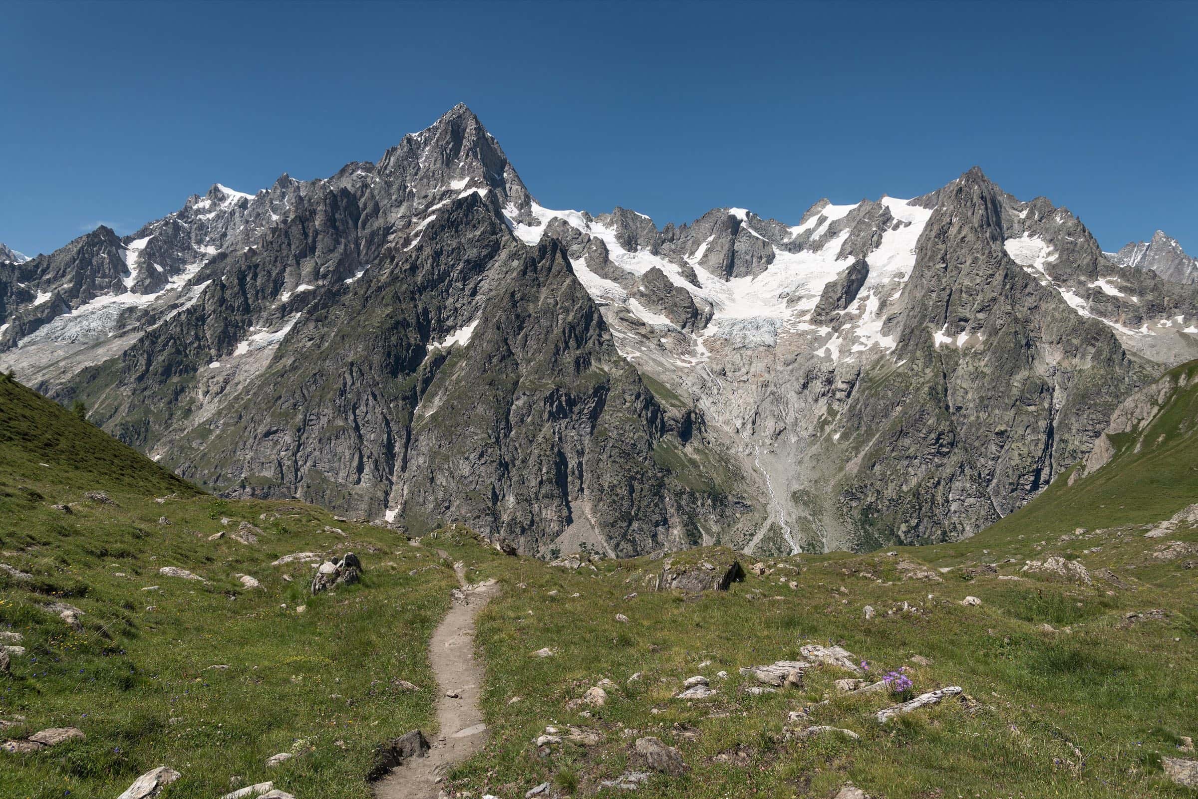
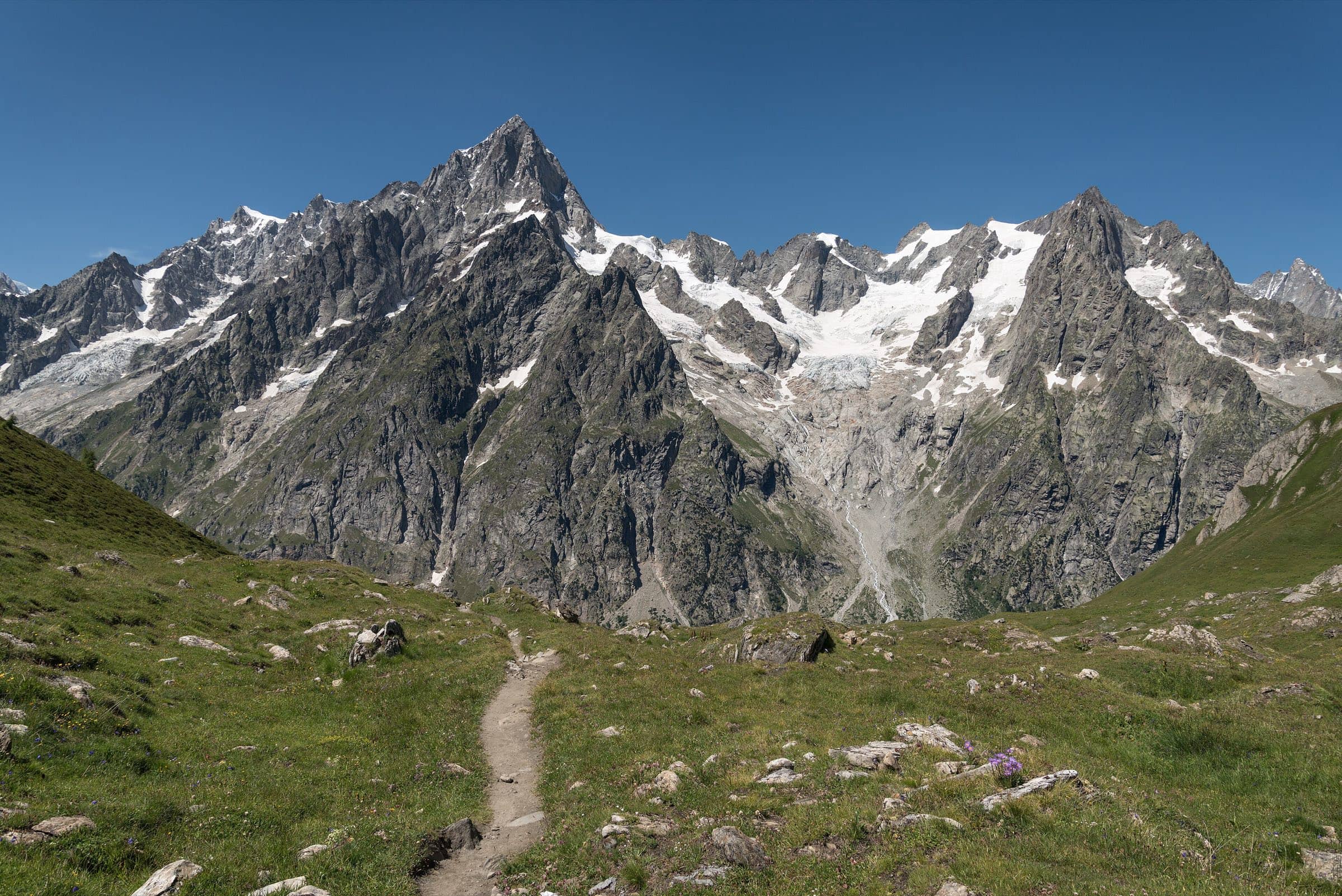
Photo: Giorgio Galeotti · CC BY 4.0
The Tour du Mont Blanc (TMB) is a long-distance loop around the Mont Blanc massif, passing through France, Italy and Switzerland. The official TMB website describes it as about 170 km (roughly 105 miles) with around 10,000 m (about 32,800 feet) of elevation gain. Other official sources give slightly different totals depending on the exact line they measure, so treat these as round numbers rather than a precise count.
You don't need technical climbing skills, but you do need stamina. The official FAQ says you should be able to walk 5 to 8 hours a day for several days in a row while carrying a pack. Here's how to put a trip together.
Direction and where to start
You can walk the loop either way. The official FAQ notes that the anticlockwise direction is the most common and the best waymarked, so it's the natural choice for a first TMB. Les Houches, just down the valley from Chamonix, is the classic start, but the official route page lists several other starting points, including Chamonix, Les Contamines, Courmayeur, Champex, La Fouly and Trient.
Going anticlockwise from Les Houches, the route heads over the Col de Voza to Les Contamines-Montjoie, crosses the Col du Bonhomme area to Les Chapieux, then climbs the Col de la Seigne into Italy. It drops through Val Veny to Courmayeur, follows the balconies above Val Ferret and crosses the Grand Col Ferret (2,537 m) into Switzerland. The Swiss section links La Fouly, Champex-Lac and Trient before the trail returns to France over the Col de Balme and traverses back above the Chamonix valley to Les Houches.
Stages and days
According to the official TMB site, the tour is usually walked in 10 to 11 stages, each a day's walk between two places to sleep. Stages typically run 10 to 20 km, and some ascents exceed 1,000 m. The site suggests three rough paces: about 7 days for experienced, fast hikers; 9 to 10 days for a balanced trip, the most popular option; and 11 to 12 days for a slower, more contemplative tour. Pick your pace first, because it decides where you need beds each night.
Booking refuges
Book your nights before you set off. The official TMB site warns that in high season refuges and guesthouses are often full several months in advance. Its booking platform lets you build your route stage by stage across all three countries, choosing between dormitories, private rooms and camping.
For summer 2027, the official FAQ says bookings open on 15 October 2026 for all of the association's member refuges. You pay a deposit when you book. If you cancel more than 30 days before arrival, 80% of the deposit is refunded; less than 30 days out, it isn't refunded unless your insurance covers it. You can change a booking through your account up to 30 days before arrival. The FAQ gives a guide price of around €65 to €95 per night for half-board in a dormitory. Check current terms and prices when you book.
“Choose your pace, lock in your refuges the day bookings open, then plan your trains and buses around them.”
— Great Hikes team
When to go
The official recommendation is mid-June to mid-September, when the passes are usually free of snow and the refuges are open. July and August bring the most stable conditions. In June and early July you may still meet snow patches, and the official guidance notes that in June and September signposting may be incomplete and some stream crossings harder. Later in the season, pack for colder weather.
Getting to Chamonix and Les Houches
The Chamonix tourism office lists Geneva International Airport as the nearest major airport, 88 km away, with daily bus connections to Chamonix. By rail, the Mont Blanc Express line runs from Saint-Gervais-les-Bains-Le Fayet to Martigny in Switzerland, stopping at Les Houches, Chamonix, Argentière and Vallorcine. The Chamonix Mobilité bus network also serves the valley, including Les Houches.
Public transport also lets you join or leave the loop partway. The official TMB site mentions free shuttles in Val Veny and Val Ferret on the Italian side, and the Pays du Saint-Bernard tourism office suggests the train to Orsières and then a bus to Champex-Lac on the Swiss side. Note that dogs aren't allowed on the shuttles.
Variants worth knowing
The official route lists several variants, from the Col de Tricot on the first stage to the Col des Fours near Les Chapieux and the high balcony via the Malatra pass above Val Ferret. The best known is the Fenêtre d'Arpette (2,665 m) between Champex-Lac and the Col de la Forclaz. The official TMB site calls it one of the finest and most demanding variants, for seasoned hikers comfortable on rocky ground and long descents. In bad weather, mist or when you're tired, take the classic route instead.
Three countries, three sets of rules
Crossing borders on foot is part of the TMB's charm, but the rules change with the country. Camping and bivouacking are a good example. The official TMB site explains that in France the rules vary by municipality, and Chamonix bans camping and bivouacking except for high-altitude overnight stays. All forms of camping are banned across Italy's Aosta Valley, and bivouacking there is forbidden below 2,500 m. In Switzerland's Valais, bivouacking is generally banned with a few tightly controlled exceptions, and camping is only allowed at designated sites. If you plan to carry a tent, read the official rules for each section first.
Mountain safety and weather
Alpine weather changes fast. The official TMB site advises checking the forecast the evening before and again in the morning, keeping a warm layer and waterproof jacket within reach, and setting off early so you don't reach high passes like the Col de la Seigne in mid-afternoon when storms are forecast. On early-season snowfields it recommends crampons, an ice axe and poles, and warns that snow bridges over streams can collapse. Good boots, a map, a whistle and a first aid kit belong in every pack.
There is no mobile network between Pont Romain and the Col de la Seigne via the Chapieux valley. In an emergency, 112 works in all three countries; Switzerland also uses 144. The PGHM mountain rescue service in Chamonix is on +33 4 50 53 16 89.
Trails change from year to year. In 2026, for example, the official site announced a diversion on the Swiss section because of rockfall danger. Before and during your trip, check trail conditions on autourdumontblanc.com, ask La Chamoniarde's mountain office in Chamonix, and follow Météo-France's mountain forecasts.
More Alpine classics
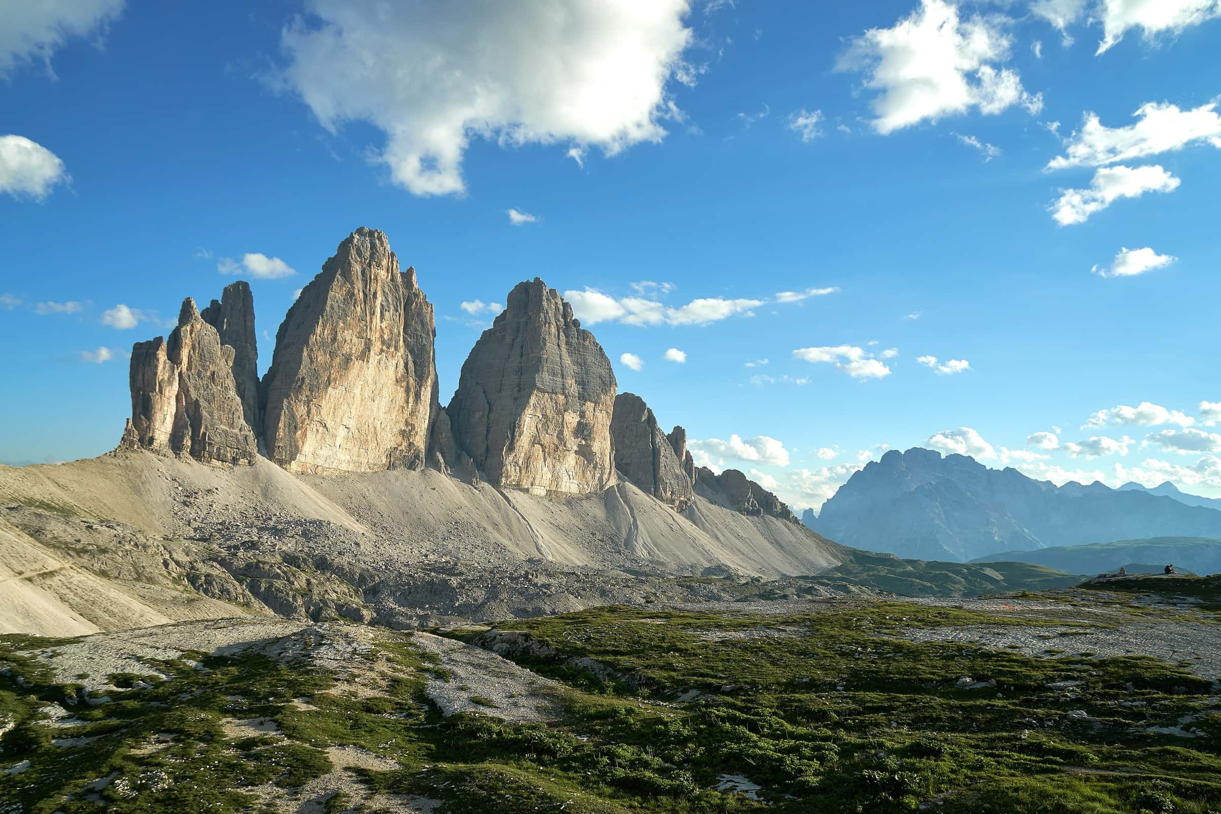
If the TMB gets you hooked on the Alps, the Italian Dolomites are a natural next trip.
Sources
- Autour du Mont-Blanc (official) – Tour du Mont Blanc route, stages and variants
- Autour du Mont-Blanc (official) – Home and current updates
- Autour du Mont-Blanc (official) – Mountain hazards and equipment
- Autour du Mont-Blanc (official) – Safety and emergency numbers
- Mon Tour du Mont-Blanc (official booking) – Overview
- Mon Tour du Mont-Blanc (official booking) – FAQ (direction, bookings, cancellations, season, emergency)
- Mon Tour du Mont-Blanc (official booking) – The route
- Mon Tour du Mont-Blanc (official booking) – Get ready (season, pace, equipment, transport, network coverage)
- Mon Tour du Mont-Blanc (official booking) – Refuges and guesthouses
- Mon Tour du Mont-Blanc (official booking) – Bivouacking on the Tour du Mont-Blanc
- Mon Tour du Mont-Blanc (official booking) – The passes of the Tour du Mont-Blanc
- Chamonix-Mont-Blanc Tourist Office – How to get here
- Courmayeur Mont Blanc Tourism – Tour du Mont Blanc
- Pays du Saint-Bernard (Champex/Orsières tourism) – No. 26 Tour du Mont-Blanc
- La Chamoniarde – Office de Haute Montagne, Chamonix
- Météo-France – Mountain forecast, Chamonix