Guide
Mount Fuji views without the summit crowds: 3 day hikes near Fuji
Three day hikes with a big view of Mount Fuji: Mount Kintoki in Hakone, Mitsutōge and Mount Takao. Trail times, getting there from Tokyo, the best season and time of day for a clear Fuji, winter tips and Takao's Diamond Fuji sunset.
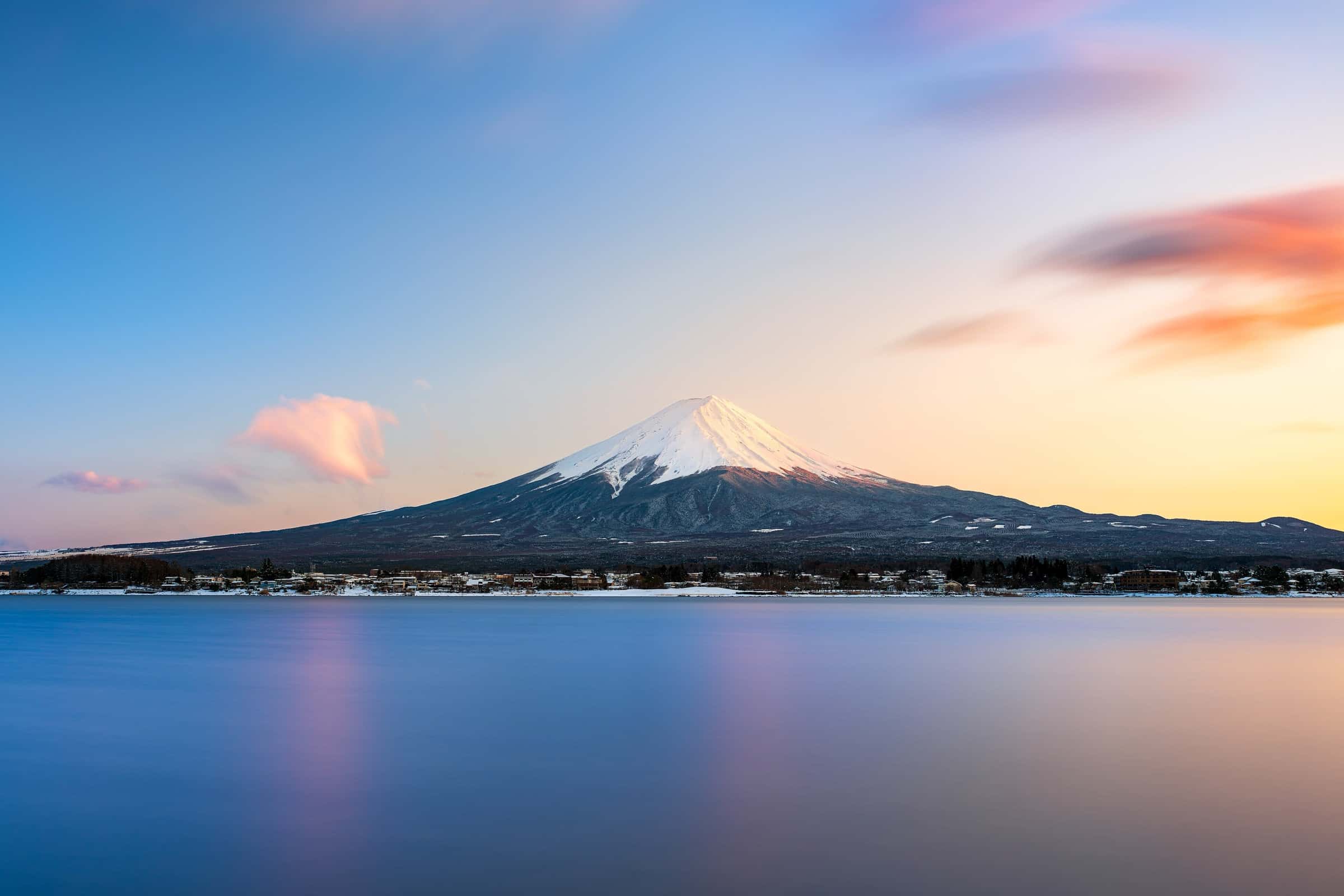
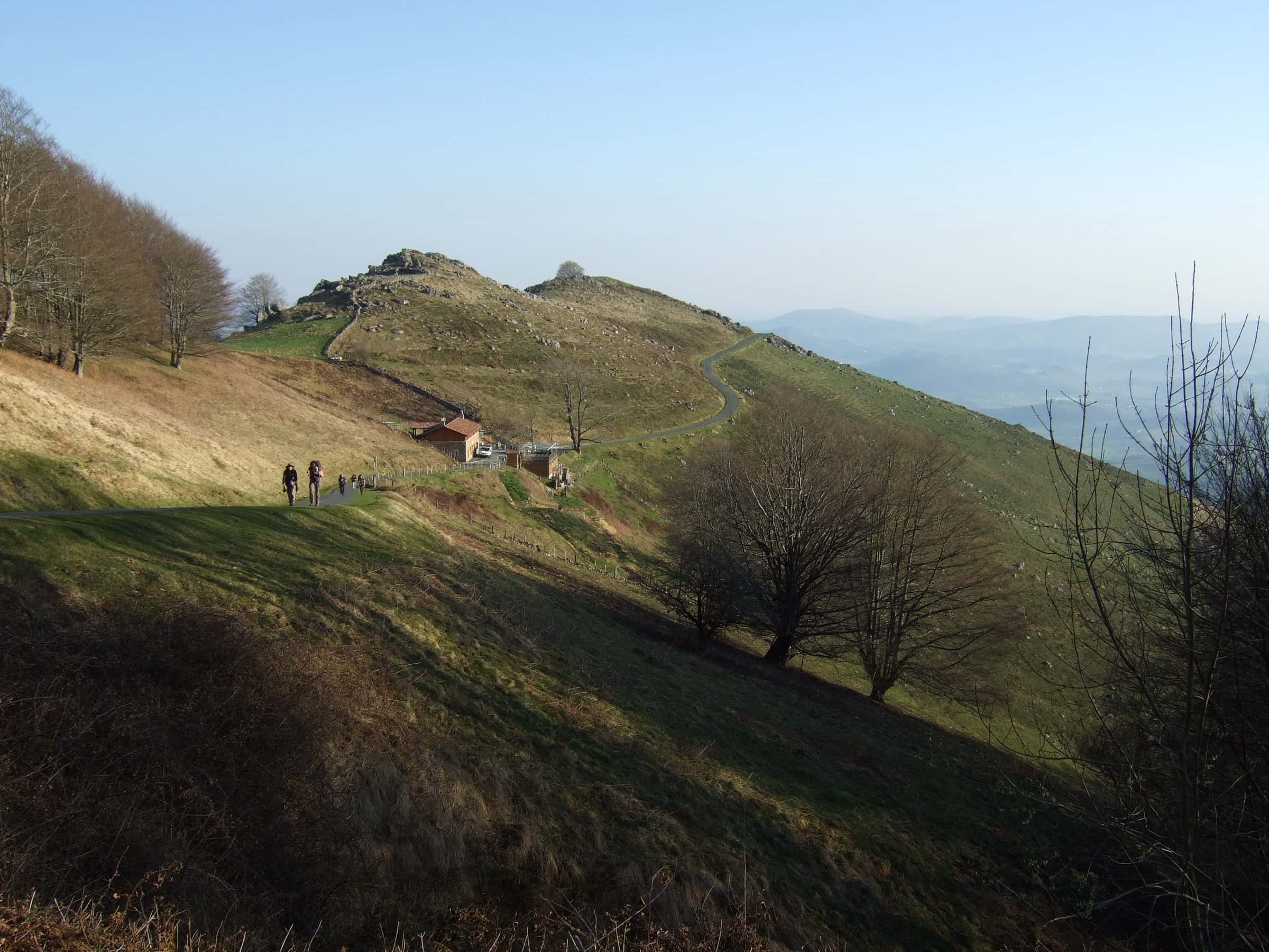
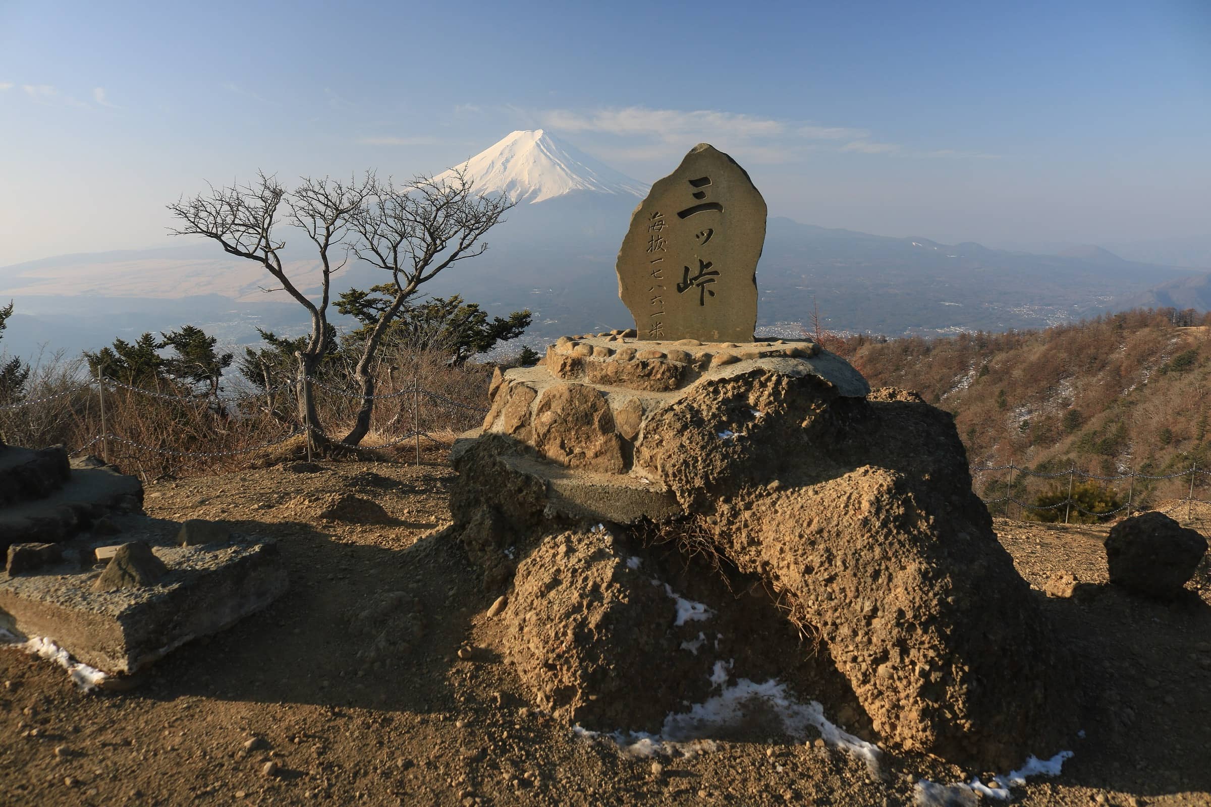
Photo: Alpsdake · CC BY-SA 4.0
Some of the best views of Mount Fuji are from the mountains around it, with the whole cone in front of you instead of under your feet. Here are three day hikes with a classic Fuji view: Mount Kintoki in Hakone, Mitsutōge above the Fuji Five Lakes, and Mount Takao on Tokyo's western edge. All three are easy to reach from Tokyo by train and bus.
The trail times below come from local tourism authorities and operators and don't include long breaks. Your pace will vary, and bus timetables change by season, so check them before you go.
When is Fuji most likely to be visible?
Fuji City in Shizuoka has recorded whether Mount Fuji is visible every day since 1990. In its 2025 report, the whole mountain was visible at 8 am on 22 of 28 days in February and on 19 days in each of January, November and December. In summer it was a different story: only 2 days in June, 5 in July and 3 in August. Across the year, 8 am was the best time of day. The whole mountain showed on 136 mornings, against 96 days at noon and 91 at 4 pm.
The city also notes that a sunny day in town doesn't guarantee a view, because cloud and haze around the mountain can hide it. These numbers come from one spot south of Fuji, so treat them as a rule of thumb: late autumn and winter, early in the day, give you the best odds.
1. Mount Kintoki (Hakone)
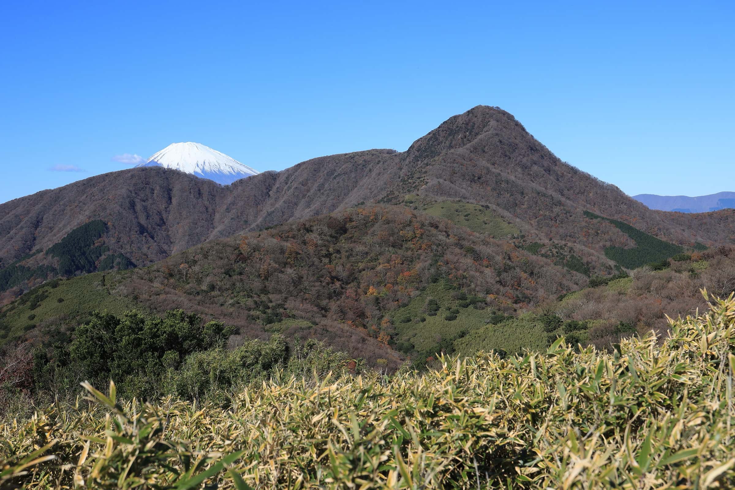
At 1,212 m (3,976 ft), Mount Kintoki sits on the northern edge of Hakone, and its summit looks straight across to Mount Fuji. Hakone Navi calls it a mountain for hiking beginners. The Hakone Tourist Association rates it as moderate, with steep, rocky sections that can get slippery. The most common trail, from the Kintoki trailhead, takes a little under 2 hours one way, and the Hakone Tourist Association puts the round trip at 3 to 4 hours. Two tea houses on the summit serve noodles and drinks, but their opening times vary.
Getting there: Odakyu's Romancecar limited express (reserved seats) runs from Tokyo to Hakone-Yumoto in about 80 minutes. From Hakone-Yumoto Station, take the Hakone Tozan Bus (Route L) toward Togendai, get off at Sengoku (about 24 minutes), and walk about 3 minutes to the trailhead. Best time: the Hakone Tourist Association says Fuji views are best early in the morning and in the colder months, and Hakone Navi also suggests starting in the morning. Tip: pack a warm layer. Both sites warn that it can be much colder at the summit than at the trailhead.
2. Mitsutōge (Fuji Five Lakes)
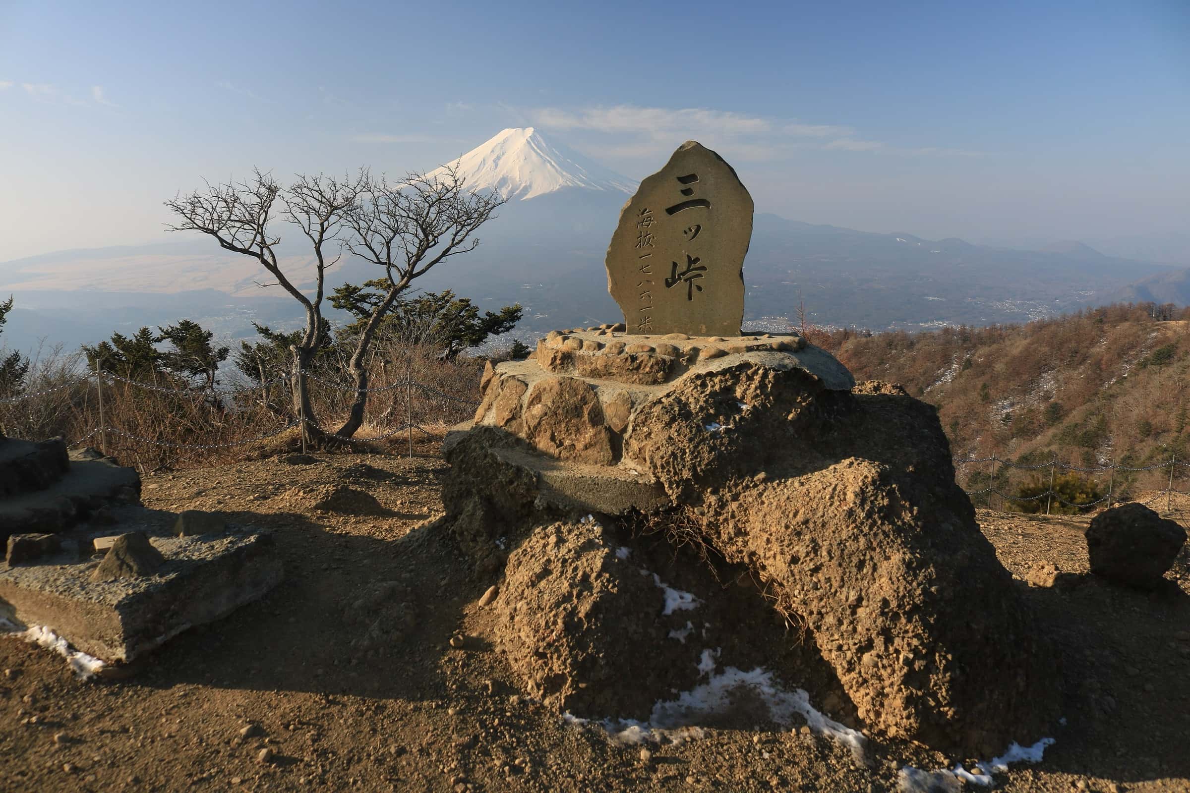
Mitsutōge is a group of peaks north of Lake Kawaguchi. Its highest point, Kaiun-zan, is 1,785 m (5,856 ft). Japan's Ministry of Land, Infrastructure, Transport and Tourism lists it among its Kanto viewpoints of Mount Fuji, and the Yamanashi Tourism Organization describes the summit view as a panorama of Fuji and the Fuji Five Lakes. Routes range from beginner to expert. The shortest one starts at the Mitsutōge trailhead and follows a wide dirt road used by the huts' vehicles. It reaches the summit in about 1.5 to 2 hours (the tourism organization gives 110 minutes). The North Trail from Tsuru is for experienced hikers only.
Getting there: from Shinjuku, take a Chuo Line express to Otsuki (about 60 minutes), then the Fujikyuko Line to Kawaguchiko (about 50 minutes). A highway bus from the Shinjuku Expressway Bus Terminal to Kawaguchiko takes about 1 hour 45 minutes. From Kawaguchiko Station, a bus toward Tenkachaya reaches the Mitsutōge trailhead stop in about 30 minutes. For a full traverse, walk down past the Byobu-iwa rock wall and the Daruma-ishi stone to Mitsutōge Station on the Fujikyuko Line. Yamanashi lists that trek at about 7 hours, or as an overnight trip.
Best time: Yamanashi suggests the trek for spring through autumn, and warns that summer clouds build quickly, so start early. Tip: two huts near the summit take overnight guests, and Yamanashi singles out the sunrise and sunset views from them. Yamanashi also asks hikers to watch for bears, so check the prefecture's bear sighting information before you go.
3. Mount Takao (Tokyo)
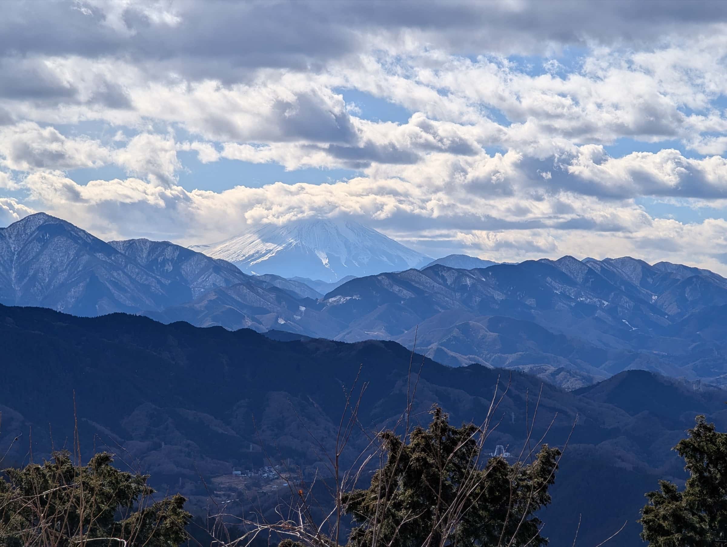
Mount Takao is 599 m (1,965 ft) high, about 50 km from central Tokyo, in Meiji no Mori Takao Quasi-National Park. It's the easiest of the three. Trail 1, the main route to the summit, is 3.8 km long and paved, and JNTO calls it easy for beginners. The Tokyo Metropolitan Government says three trails reach the summit in about 1.5 hours. You can also take the cable car from Kiyotaki Station (about 6 minutes) and then walk about 40 minutes to the summit. The 3.1 km Inariyama trail is for hikers who are confident in their stamina.
Getting there: Keio Line limited express trains run from Shinjuku to Takaosanguchi Station in as little as 50 minutes. Best time: JNTO notes that you can see Fuji from the summit on clear days, so aim for a clear winter morning. Tip: the Takao Tozan Railway advises carrying a flashlight or headlamp and planning to be down before sunset. Once the sun goes down, the forest gets completely dark.
Diamond Fuji at Takao
Around the winter solstice, the sun sets right on the summit of Mount Fuji as seen from Mount Takao. In Japan this is called "Diamond Fuji," and both the Ministry's Kanto viewpoint list and the Takao Tozan Railway describe it. For 2025, the railway gave the viewing period as December 17 to 28. Sunset was around 4:15 pm, and the best moment was between about 4:00 and 4:15 pm. There are two viewpoints: the summit, about 40 minutes on foot from the cable car's Takaosan Station, and Momiji-dai, about 5 minutes beyond the summit.
During the 2025 period the cable car ran until 6:00 pm instead of its usual last runs (5:15 pm on weekdays, 5:30 pm on weekends and holidays). The longer hours were canceled in bad weather. The railway asks visitors to dress warmly, bring a flashlight and walk down Trail 1 to the cable car. When we checked in October 2026, the railway's page still showed the 2025 dates, so check takaotozan.co.jp for this year's details. And remember that clouds can hide Fuji on any evening.
Winter conditions: ice, cold and short days
Winter gives you the clearest Fuji, but it also changes these hikes. Tokyo Metropolitan Government rangers warn that trails in the parks west of the city get very slippery with snow and ice in winter. They ask hikers to carry light crampons (traction devices) even on low mountains, and their photos include a snowy Takao summit. Yamanashi Prefectural Police list snow, icy surfaces and strong winds among winter's dangers, and they recommend an "early start, early finish" rule.
Days are short, too. Near the solstice the sun sets around 4:15 pm at Takao. Carry a headlamp, set a turnaround time, and dress for the summit, not the station.
“Clear winter mornings are the prize. Start early, carry traction and a headlamp, and turn around while there's still daylight.”
— Great Hikes team
Before you go
Trail conditions, bus timetables, cable car hours and Diamond Fuji dates change from season to season. Before every hike, check current conditions and rules with the local authorities. For Kintoki, that's Hakone Navi and the Hakone Tourist Association. For Mitsutōge, it's the Yamanashi Tourism Organization and the towns of Fujikawaguchiko and Nishikatsura. For Takao, check with the Takao Tozan Railway and Tokyo's Takao Visitor Center.
Sources
- Fuji City – Mount Fuji observation record, 2025 report (富士山観測の記録 令和7年報告)
- Hakone Navi (Odakyu) – Mount Kintoki
- Hakone Tourist Association – Mt. Kintoki Course
- Odakyu – Hakone and the Romancecar
- Yamanashi Tourism Organization – Mitsutōge (Yamanashi's famous mountains)
- Yamanashi Tourism Organization – Mitsutōge trekking course (as of August 2021)
- Yamanashi Tourism Organization – Access from Tokyo
- MLIT Kanto Regional Development Bureau – Kanto Fuji viewpoints: Misaka, Kamakura Okan and Mitsutōge
- MLIT Kanto Regional Development Bureau – Kanto Fuji viewpoints: Takao-Jinba Natural Park (Diamond Fuji)
- Tokyo Metropolitan Government – Sightseeing in Meiji no Mori Takao Quasi-National Park
- JNTO (japan.travel) – A sacred escape within an hour of central Tokyo (Mt. Takao)
- Takao Tozan Railway – Hiking courses
- Takao Tozan Railway – Diamond Fuji (2025 viewing period and cable car hours)
- Takao Tozan Railway – Hiking guide (daylight, headlamp, cold)
- Tokyo Metropolitan Government – Tokyo Ranger News No. 182, February 2020 (winter ice, light crampons)
- Yamanashi Prefectural Police – Safe winter mountain hiking